HOT & Humid With Storm Chances
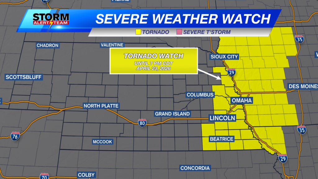
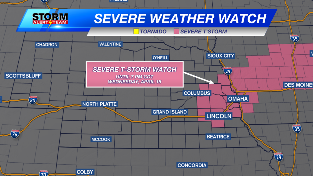
Severe storms are possible Tuesday evening/night across much of eastern Nebraska! Winds up to 70-80+ mph, LARGE HAIL, isolated tornadoes
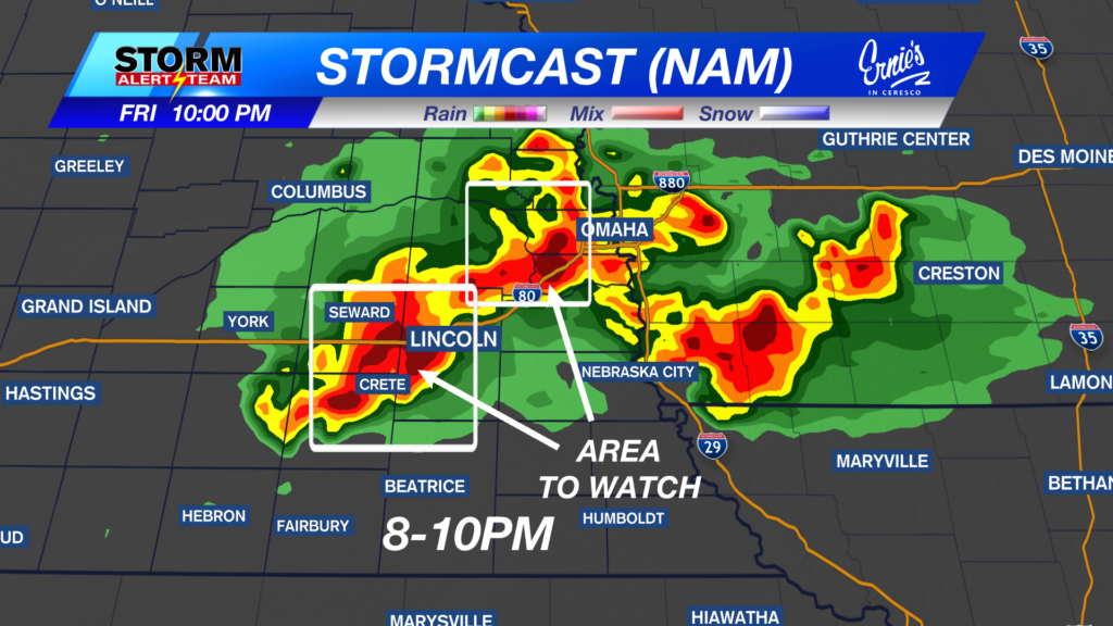
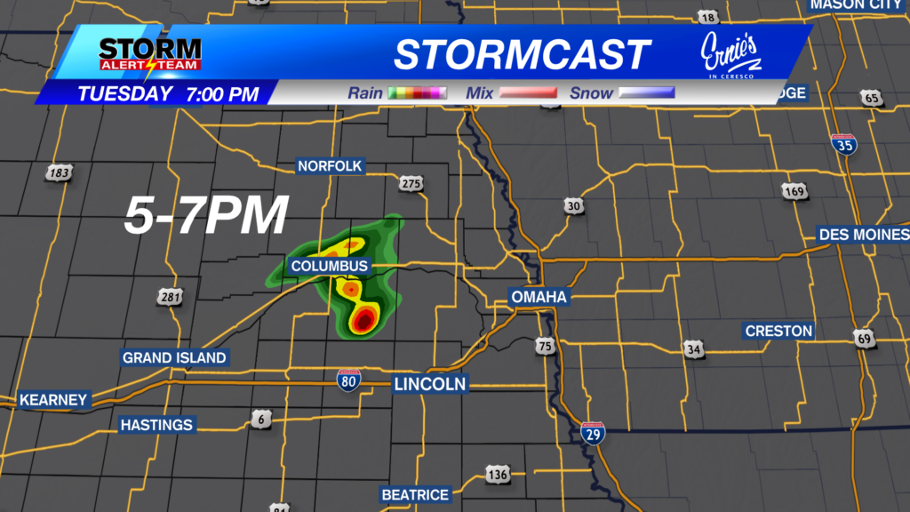
*Lincoln could see storms/rain near 8-11pm*
For up to the minute radar, go HERE.
For the latest warnings, go HERE.
For a live look at our Nebraska Weather Cams, go HERE.
And we would love to see video of any storm footage you may get (safely!). You can upload that using our Now Local News App HERE.

VERY HOT & MUGGY Tuesday! Feel like temperatures in the triple digits across much of eastern & SE Nebraska.

7-9PM: Storms INTENSIFY & track east, carrying a DAMAGING wind/hail & PEAK TORNADO threat across NE Nebraska. Lincoln/Omaha could see storms/rain near 8-11pm*

10PM-2AM: Storms become a DAMAGING WIND/HAIL & isolated tornado threat as they move NE.

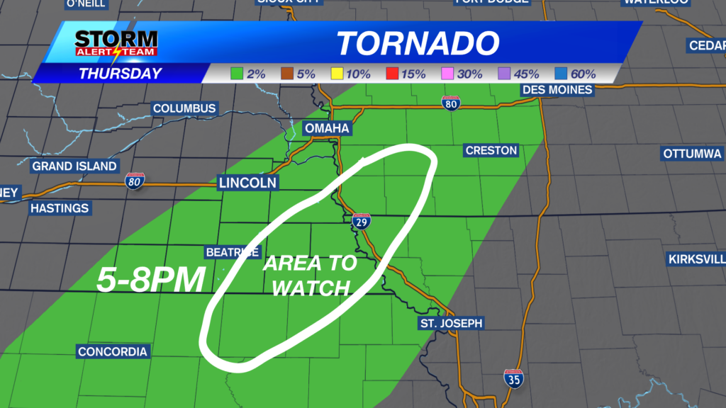
A few isolated TORNADOES EF-1+ will be possible across north central & northeast Nebraska. (7pm-midnight)

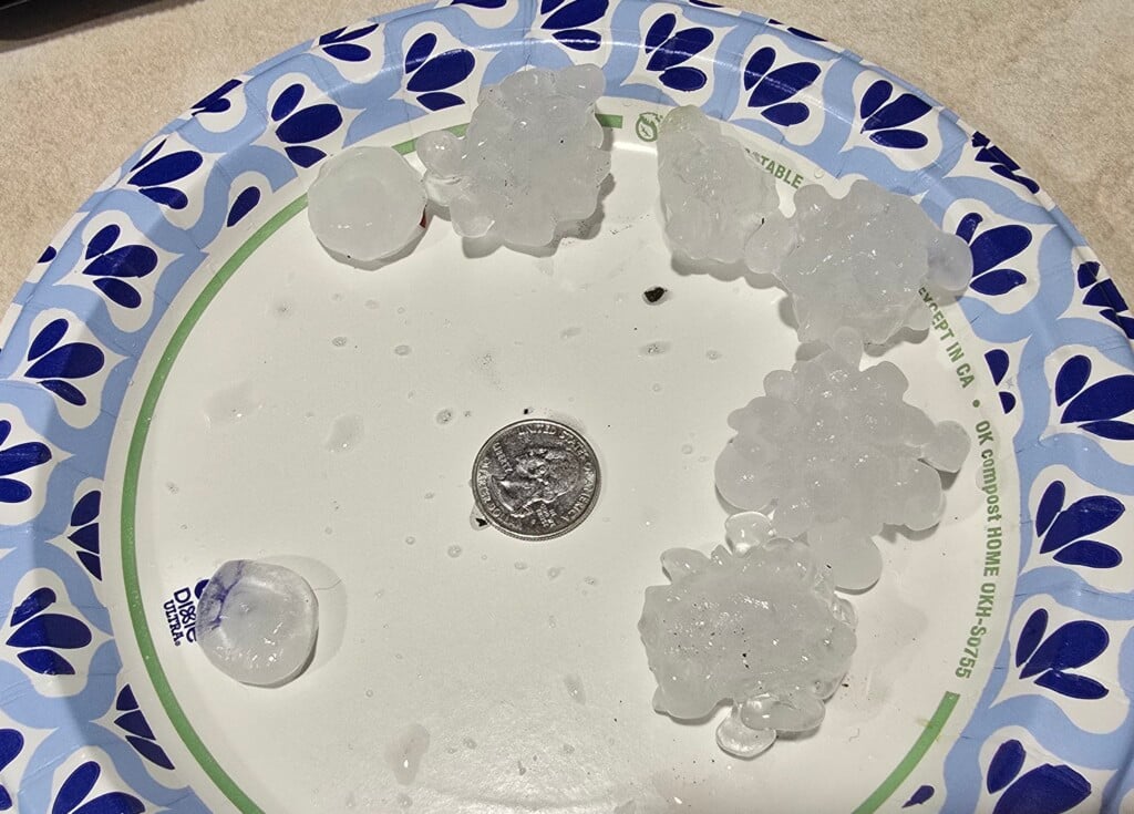
Large hail up to tennis balls or greater will be possible with these first discrete storms Tuesday evening. Quarter to half dollar size hail for surrounding areas.

Damaging winds up to 65-75+ mph will be possible as storms form a line by 8-10pm.

Thursday Severe Weather
Thursday morning could bring some AM rain/T-storms from the tri cities and areas east. Small hail and damaging winds will be the main concerns.

Here is a look at the storm potential late Wednesday into Thursday morning:

Hot, muggy and rainy through this week. Storm chances this weekend with a big cool down next week!

Meteorologist Houston Hall
Facebook: HHallWX
YouTube: HHallWX