Storms scaling back Friday, severe possible Saturday
Strong and severe storms in Nebraska Thursday and into Friday brought a ton of rain through southern Nebraska. In fact, flash flooding occurred in Gosper, Phelps and Buffalo Counties with Kearney reporting stalled vehicles on the streets due to the heavy rain. Reports were confirmed over 3″ through many of those areas.
Lincoln missed out on the severe weather, picking up about 0.2-0.3″ through Friday morning. Between McCook and Fairbury, many south of I-80 saw over ten times the amount of rain that Lincoln saw.

Storms first picked up by late Thursday afternoon, with three reports of funnel clouds near Culbertson and Inavale. No confirmed tornadoes through Nebraska with these storms, but large hail was reported up to 4″ in diameter!

There were also some very strong winds reported near McCook and Culbertson with a gust reported over 80 mph. The storms brought more on a wind threat overnight, bringing gusts close to 60 mph through Holdrege and Superior.

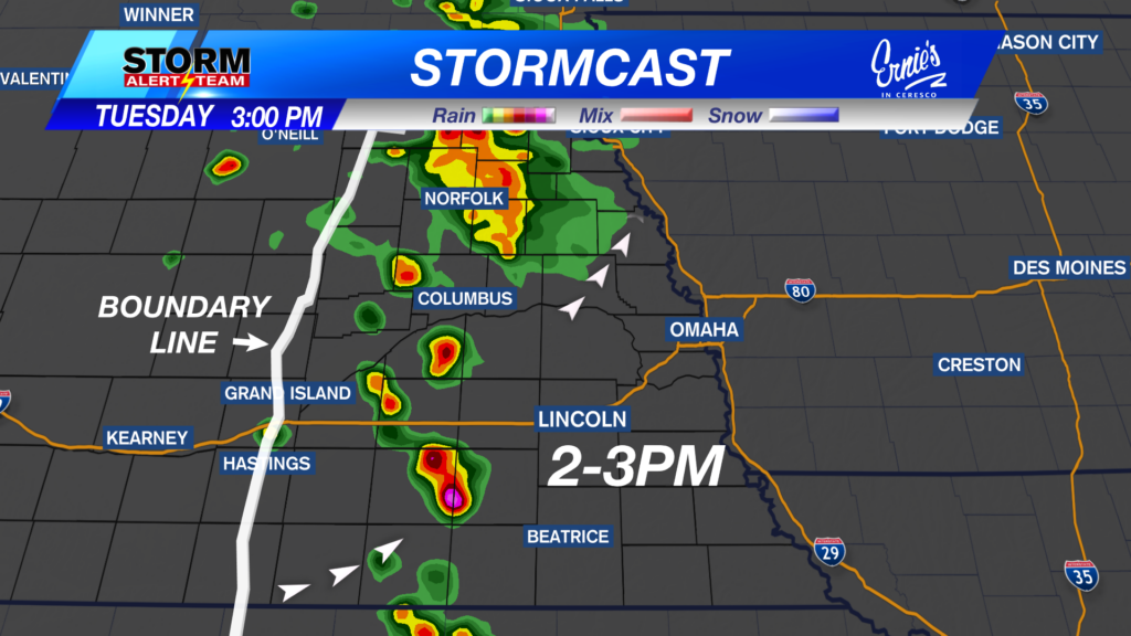
There’s a chance for showers/a stray storm by Friday evening, so keep that in mind for any plans later in the day. Channel 8’s Game of the Week features Lincoln Lutheran and Wilber-Clatonia in Wilber, with kickoff at 7 p.m. By then, it’ll be breezy and some scattered storms are possible for a short time.

Overall, Friday’s risk for severe weather has been scaled back. Most of eastern Nebraska has been removed from the risk for severe weather, but a Slight (Level 2 of 5) risk for scattered storms to be severe near northwest Nebraska is in place.

Stormcast shows are early morning showers moving east, with eyes toward northwest Nebraska by Friday afternoon. Isolated storms pop up close to the South Dakota border, and any of these could produce a tornado, large hail and/or damaging wind.
By Friday evening, there’s a scattered chance for some rain, maybe a stray storm, through eastern Nebraska that quickly fades after sunset. Another round to the west fires overnight into early Saturday, trekking north and east. Northeast Nebraska has the best chance to see storms overnight and early Saturday, with a Marginal (Level 2 of 5) risk that one or two of those storms are severe.
By Saturday afternoon, there’s less confidence in what is going to happen. Latest models keep a strong ling of storms developing further and further east, missing Lincoln. But a cold front could fire up storms by the early afternoon, on top of Lincoln, too. It largely depends on what we see Friday night, and the timing of that front for forcing needed.
As of Friday morning, Lincoln and Beatrice were included on the western edge of a Slight risk from the Storm Prediction Center, indicating that scattered storms are possible from there eastward. Check back for updates as we get closer to this event.

For now, with those storms possible by kickoff for the Huskers’ second home game, I’ve included chances for storms throughout the afternoon into the evening. Rain gear would be a good idea for this game, even though it could be on the warmer side temperature-wise. Conditions will be breezy throughout the day, too.

Again, as we’ve seen with Thursday affecting Friday’s storm chances, the previous day has affected the next day’s chances. After this, we clear out for the most part by Sunday, with only a small chance for rain into Monday. Temperatures look to stay in the upper 70s and low 80s for the end of September/early October.
Meteorologist Jessica Blum
Twitter: JessicaBlumWx
Facebook: JessicaBlumWx