Adding to streak of summer-like 80s this week, but signs of fall soon
Last year and the year before (2024 and 2023) had the most September days at or above 80° in Lincoln’s recorded history.
This year will likely tie for the 11th-most days, after today and tomorrow.

Monday morning won’t start out quite as cool as Sunday did, when temperatures fell to the 40s. We’ll begin the day with temperatures comfortably sitting in the 50s and 60s.
Then we’ll be nearing 90 this afternoon for a very warm start to the week.

I don’t think we should be surprised if a couple places do end up making it to 90° later today. Hebron, Aurora and York did manage to hit 90° on Sunday.

Temperatures this warm are 10-15° warmer than late-September average high temperatures that are in the middle 70s.

Summer-like temperatures continue this week with especially a few days looking to near 90. Friday we may hit 90° in Lincoln.
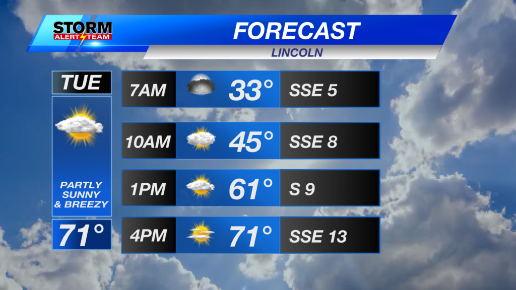
The one day that looks a little cooler is Tuesday because of more cloud cover.

Our earliest measurable snow (at least 0.1″) in Lincoln’s history happened on this day, back in 1985. Just last year, we set a new record for the latest first snow: January 4th.
The average first snowfall for Lincoln usually falls somewhere in mid to late November.

While we continue to add to the streak of days at or above 80° this week, I’ve finally found what could be more fall-like temperatures and rain chances in the extended forecast.

Next week, temperatures look to cool to the 70s with more rain chances for that first full week of October.
Meteorologist Jessica Blum
Twitter: JessicaBlumWx
Facebook: JessicaBlumWx
Bluesky: JessicaBlumWx
YouTube: JessicaBlumWx