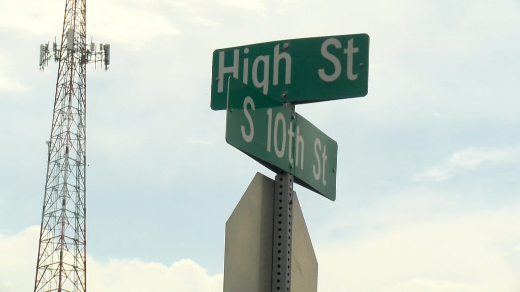
Damaging wind, heavy rain barrels through southeast Nebraska
LINCOLN, Neb. (KLKN) – Strong and severe storms brought mostly damaging wind and heavy rain throughout Nebraska early Saturday morning.

Word from emergency management in the area said Sutton is in a State of Emergency for storm damage, clean up and evaluation. The National Weather Service is sending a damage survey team to evaluate the damage.
Preliminary report from the National Weather Service surverying near Callaway said damage seen in that area caused by straight line winds of 100-110 mph.
Largely a wind event, damaging winds over 80 mph were reported through Ord and Dorchester early Saturday. Over 70 mph winds were seen in several spots, too.

At first, we used radar estimates to show that a wide area of southeast Nebraska saw a lot of rain in a short amount of time. Then, later on as reports came in across our social media pages, we were able to find truth in some of the estimates.

Thanks to many for sharing their rain gauges on social media, we gathered many impressive totals through 12:30 p.m. Saturday afternoon.
Some of the highest totals appear to have come from near Hickman through this event, with many reporting anywhere from 2-4″ by the time all was said and done.

Closer to home, south Lincoln was the winner this time. Many reports well over 2″ were shared through Facebook and Twitter, with flash flooding also seen on Saturday.

We may be looking into a similar event overnight and into Sunday, so be sure to tune in to Channel 8 and the Storm Alert Team with the latest.
Meteorologist Jessica Blum
Twitter: JessicaBlumWx
Facebook: JessicaBlumWx