Gradual clearing and mild; freezing fog possible Tuesday morning
The holidays are almost here! This is the first time the start of Hanukkah coincides with Christmas since 2005. Kwanzaa will start the following day.

This week will continue to have mostly mild weather, especially on Monday despite some cloud cover to start out. Winds will remain rather light throughout the day, warming to the lower 50s later on.

Low-level clouds and fog are expected to develop late Monday night into Tuesday morning. This fog could be rather dense at times, reducing visibility for the start of Christmas Eve and any morning travel.
Fog could linger across parts of eastern Nebraska for a while, spilling into the early afternoon hours as well.

You’ll want to be especially careful if commuting late Monday night or the first part of Tuesday as temperatures will be dropping below freezing. That could mean slick spots with some freezing fog through the first part of Christmas Eve.

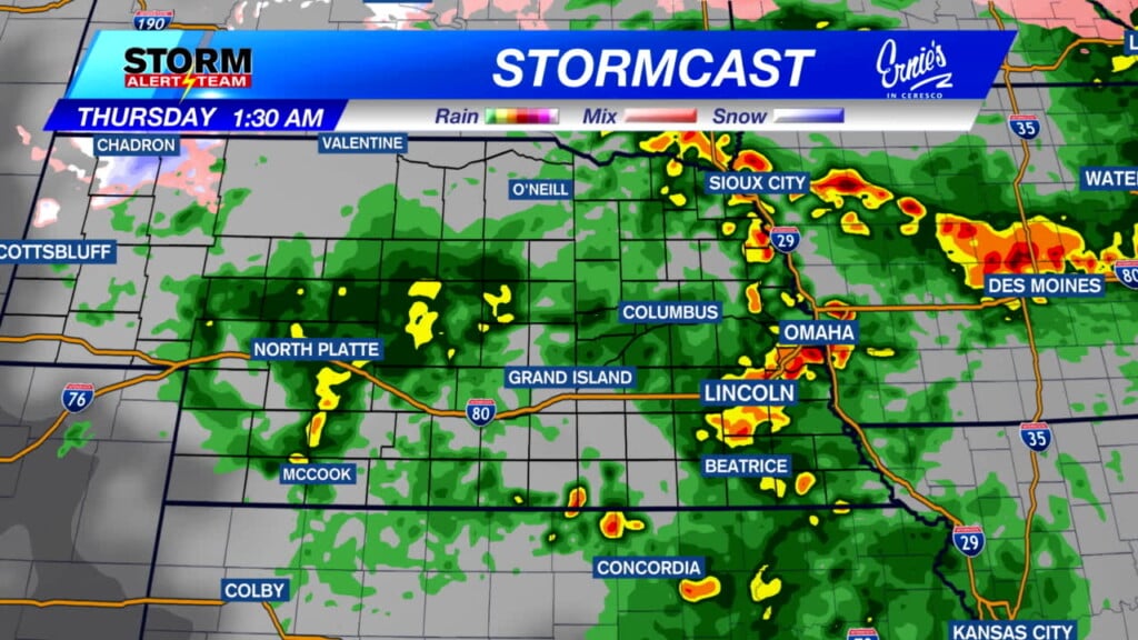
Temperatures over the course of this holiday week will be in the 40s and 50s. Rain chances will increase heading into the second half of Thursday.

While it will be a warm Christmas, it likely won’t break the top-25 warmest Christmas Days in Lincoln’s history. The warmest we’ve ever been on December 25th was 65° back in 1889. Some other holiday extremes can be found below.

The warm weather will stretch into the weekend after Christmas as well: around the middle 50s once more.
Meteorologist Jessica Blum
Twitter: JessicaBlumWx
Facebook: JessicaBlumWx
YouTube: JessicaBlumWx