Lincoln city mapping project shows how where you live can affect your health
A new project involving maps is showing what kind of shape Lincoln is in. Everything from health insurance coverage, poverty changes, access to healthy foods, and life expectancy in different areas of the city can be observed.
The Community Health Endowment and the Lancaster County Health Department have been working on the mapping project over the last six years.
The data can help the city recognize where changes can be implemented for safer, healthier communities.
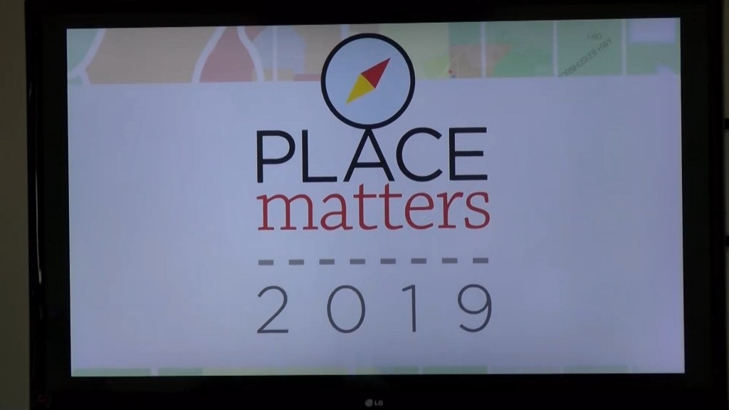
Today the CHE held a community conversation to discuss the findings and show the changes.
“These maps are really powerful because they’re very personal. When you think about maps, everyone has a place that is most important to them. When you look at maps you can see yourself in it, so when you present community issues in the form of maps, you can not only see what they mean to the community, but what they mean to you personally,” says Lori Seibel, President and CEO of the Community Health Endowment.
The maps can inform community members about areas of the city they may be less familiar with, and show them how where someone lives can affect their health and lifestyle.
Many of the maps from this year’s book showed positive improvements from the last set, and also showed many place where the city can improve.
The CHE will be holding more community conversations on the maps and a range of health topics. For more information, you can visit their website here.