Six tornadoes confirmed across eastern Nebraska and southwest Iowa
LINCOLN, Neb. (KLKN) – The National Weather Service of Omaha has confirmed six tornadoes from Thursday evening’s storms across eastern Nebraska and southwestern Iowa (April 17, 2025).
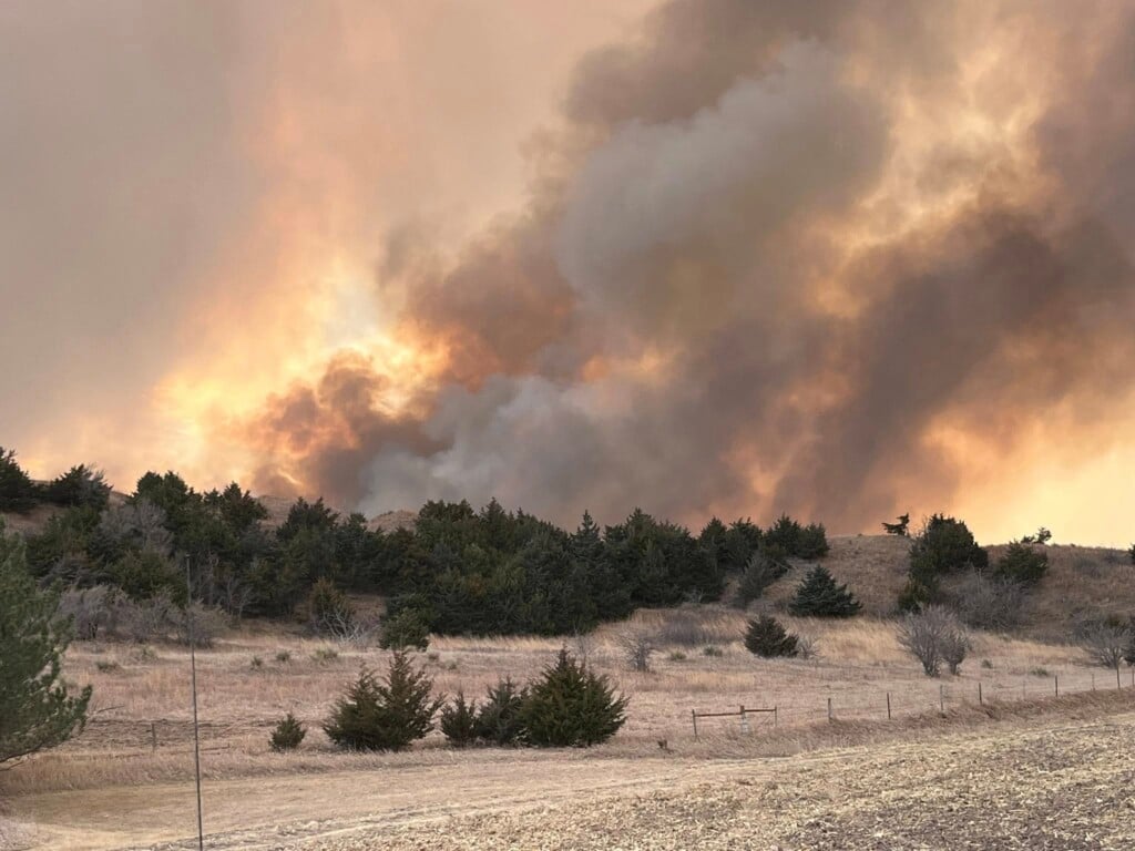
Two long-tracked supercells were responsible for widespread, damaging hail up to 4″ in diameter, wind gusts greater than 80 mph and multiple tornadoes.

Findings from the preliminary damage survey reports can be found below.
EF-3 Bennington/Fort Calhoun Tornado (Nebraska)

NWS Omaha damage survey summary: “At approximately 6:55 p.m. on Thursday, April 17, a tornado developed near Highway 133 and appeared to produce first damage by snapping limbs in an area of trees. The tornado moved to the east, impacting trees, homes and destroying a garage near 108th Street. It damaged trees along Little Papillion Creek and then impacted a home and large garage near 84th Street, south of Dutch Hall Road.

Courtesy: NWS Omaha
This was the point along the tornado track where the most intense damage was observed, as a well-built all-brick home was destroyed with only some walls still standing. Tree damage near the site, as well as the destruction of a large, well-built garage, supported the estimate of a high-end EF-2 to low-end Ef-3 damage at this location.
The tornado proceeded to destroy another large shed and remove the roof from a brick home a half mile to the east. It then destroyed a very large garage-type building in between two homes at 78th Street, south of Dutch Hall Road. The tornado passed directly between the homes, causing extensive tree damage, lifting and moving a full-size pickup truck approximately 30 yards, and throwing large trees nearly a quarter of a mile downstream.

Courtesy: NWS Omaha
The tornado weakened slightly but damaged several outbuildings and trees near 72nd Street. At that point, it began to move more northeasterly, snapping several trees and flipping recreational vehicles at Nashville, Nebraska. It directly impacted another home, destroying two outbuildings and causing tree damage near Country Road P38. The tornado impacted one more home and destroyed another outbuilding near Country Road P51 before dissipating in an open field at approximately 7:15 p.m. Thursday evening.”

Courtesy: NWS Omaha
EF-0 Alvo Tornado (Nebraska)

NWS Omaha damage survey summary: “There was video evidence of a tornado at this location. Little to no damage was reported, even to trees, as it passed through multiple wooded areas.”
EF-0 Manley Tornado (Nebraska)

NWS Omaha damage survey summary: “Approximate track of an intermittent tornado based on video evidence. Intermittent tornado circulation passed through mainly open fields, but also through some areas of trees with little to no damage.”
EF-U Murdock Tornado (Nebraska)

NWS Omaha damage survey summary: “There was video evidence of a tornado near this location that lasted for approximately two minutes. No damage was reported as it passed through open fields.”
NOTE: An EF-U rating is given to a tornado when there is unknown information because it did not cause damage.
EF-1 Imogene and Essex Tornado (Iowa)

NWS Omaha damage survey summary: “At about 8:32 p.m. Thursday evening, a tornado formed southeast of Randolph, Iowa. The first sign of damage was snapped tree limbs near Lake Shawtee. As the tornado progressed eastward, more tree damage was observed along with the damage of small outdoor farm buildings and house roofs.

Courtesy: NWS Omaha
A concentrated area of the most extensive damage was observed south of Imogene, Iowa. In this area, damage included snapped wooden power poles, minor damage to homes, and the continued damage of outdoor buildings and trees. The width of the damage also reached its peak, approximately 1971 yards in this area.”
- UPDATE: It has been found that this is *not* Iowa’s widest tornado in history and the width has been revised
- New analysis by the National Weather Service found not all damage was done by the tornado, but rather a different part of the storm (rear flank downdraft)

Courtesy: NWS Omaha
“The tornado tracked just north of Essex, Iowa, with more wooden power poles snapped and farm outdoor building damage. After sliding north of Essex, Iowa, the tornado tracked northeast toward Nyman. Similar damage, including trees, outdoor buildings and wooden power poles were observed along this stretch. The tornado lifted just east of Nyman.”

Courtesy: NWS Omaha
EF-0 Tabor Tornado (Iowa)

NWS Omaha damage survey summary: “At approximately 8:13 p.m. on Thursday, April 17th, a tornado formed 3 miles southwest of Tabor. The tornado stirred up copious amounts of dust and dirt from a recently plowed agricultural field. The tornado moved southeast across mainly agricultural fields until crossing U.S. 275, producing EF-0 damage to roofs and farm outbuildings just south of 130th Street, reaching a width of about a 1/4 mile. ‘

Courtesy: NWS Omaha
Based on video, the tornado weakened briefly east of U.S. 275 until it crossed 280th Avenue, where it again reached a width of about a 1/4 mile and strengthened again before crossing 290th Avenue, producing EF-0 damage to trees and flipping irrigation pivots. The tornado continued until about the intersection of 300th Avenue and 140th Street where it dissipated.”

Courtesy: NWS Omaha
The Enhanced Fujita (EF) Scale classifies tornadoes into the following categories.

Meteorologist Jessica Blum
Twitter: JessicaBlumWx
Facebook: JessicaBlumWx
Bluesky: JessicaBlumWx
YouTube: JessicaBlumWx