STORM PHOTOS: Severe storms roll through southern Nebraska
Viewers are sending in photos of the storms moving through south eastern Nebraska
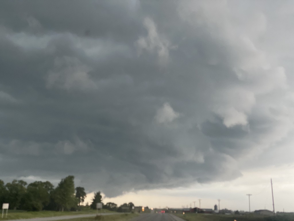
Courtesy: Heather Delong
ugc-media-d89fae84-2a7f-446a-a9ed-15386211b6d0.jpg
Mammatus clouds on the back edge of the storm…just north of Adams.
ugc-media-72d557d3-3e95-49b0-bcea-7a12374e7b75.jpg
Lake Allure / Ashland, NE
ugc-media-5527fee2-577b-4f6a-aa8b-de6b4b78c408.jpg
A panoramic view of the storm right before it impacted Tecumseh.
ugc-media-e9f5f803-537f-4afb-90a8-c6561b7c5bc9.jpg
Northeast Lincoln. After major storm clouds.
ugc-media-8d7a0d32-7a36-46ee-8681-c473560c2fc4.jpg
Mammatus clouds sw of Crete.
ugc-media-e449eb42-2667-47f2-b780-625b264a2670.jpg
ugc-media-8e7c8691-87ea-4a07-8279-c843d56ed652.jpg
Looking West out of waverly
Before the storm in Firth
Before the storm in Firth
Storm Clouds heading to Lincoln from Beatirce
Storm Clouds heading to Lincoln from Beatirce
LINCOLN, Neb. (KLKN) – Strong to severe thunderstorms fired along a cold front on Friday afternoon in eastern Nebraska, prompting severe thunderstorms and tornado warnings for some.
Here’s video of a shelf cloud out in Gage County courtesy of Chief Meteorologist John Dissauer as he chases the storm.
Share your storm photos with us.