Why a helicopter is pulling a hoop over Gage and Jefferson Counties
BEATRICE, Neb. (KLKN) – Looking up in the sky in Gage and Jefferson Counties on Wednesday, you may have wondered: Is it a bird? Is it a plane?
No, it’s a helicopter, pulling a giant hoop about 80 feet behind it.
The Lower Big Blue Natural Resources District, based in Beatrice, is trying to find aquifers with airborne instruments.
“The reason we started in this area is that it is one of our more variable or marginal aquifers,” said Tyler Weishahn, assistant manager of the NRD. “We have seen declines, and just trying to understand the extent of that and who might be affected.”
It’s working in junction with Aqua Geo Frameworks and SkyTEM.
Since 2006, this type of geological mapping survey has been conducted for many areas across Nebraska.
The goal is to map the earth’s subsurface with this hoop designed in Denmark, using small electromagnetic signals.
“As we fly across the surface, we pulse the earth at a very short duration, and we listen through a receiver of what the earth gives back,” AGF geophysicist Jared Abraham said. “What’s amazing about this technology is you can see the differences between clays and sands and gravels. Well, when you think about aquifers, that’s exactly what you want to know.”
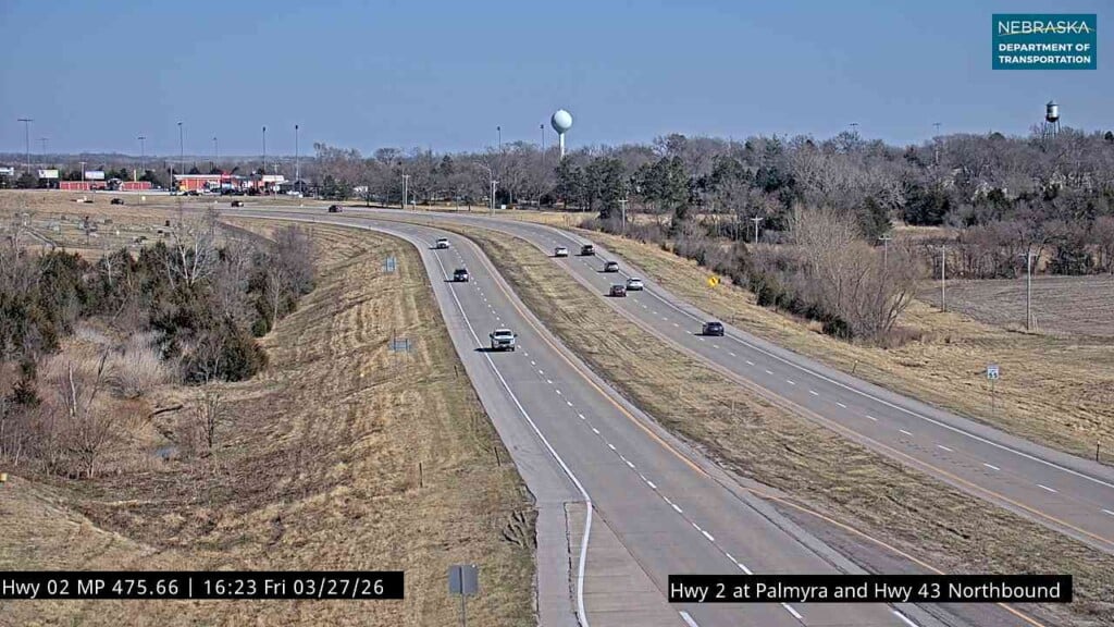
For this to happen, you’ll see a helicopter flying about 200 feet off the ground.
Each flight lasts over two hours, with two to three flights per day.
For the pilot, there’s a lot of in-flight decisions as a one-man crew.
“There’s a lot going on,” said Chase Olsen, Livewire Aviation utility pilot. “A lot to pay attention to situationally, trying to clear the airspace in front of you and also just trying to keep that thing with the right correct elevation, correct angles needed for a good readout on the data.”
The SkyTEM ground crew works simultaneously with the pilot, acting as quality control for the data.
SkyTEM field assistant Max Paquet of Quebec has traveled around much of Canada and the U.S. for these projects.
“We’re looking for groundwater and stuff like that, managing the natural resources,” Paquet said. “In our times, water is a really important resource. It’s nice to work with the communities to try to find the resources and help them.”
Flights will continue for the next few days.
This geologic data is available to the public through the Nebraska GeoCloud.
“This information doesn’t replace our quality boreholes, geology, hydrology, water quality sampling that’s been done,” Abraham said. “It augments them by providing connections between those control points.”
One of the final products will be a 3D model looking down to the bedrock.
This will allow a more in-depth look at the quality of our aquifers.
“We’re looking at next spring for sure to have a final product,” Weishahn said. “It’ll be incorporated into our management strategy immediately. And we’ll continue to add to that data as long as funding allows and we can continue to do these projects.”
After this, the next stop will be to shift and continue work for the Nemaha NRD.