Chilly Temperatures Continue into the Weekend
Weather Headlines:

Chilly temperatures linger into Friday afternoon alongside mostly sunny skies in southeast Nebraska. While the winds will be light, you will want a few layers for any outdoor plans.

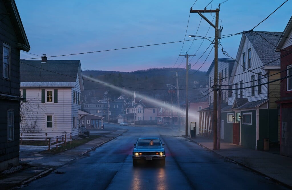
Portions of western Nebraska and the panhandle will see a foggy start to their Friday. A Dense Fog Advisory is in place until 11:00 a.m. CST on Friday, November 13, when visibility could fall to a quarter mile or less.
The latest runs of StormCast show partly to mostly cloudy skies for the western half of the state and sunny skies for eastern Nebraska. The weekend looks to stay dry, outside a few sprinkles possible early Sunday in southwest Nebraska.
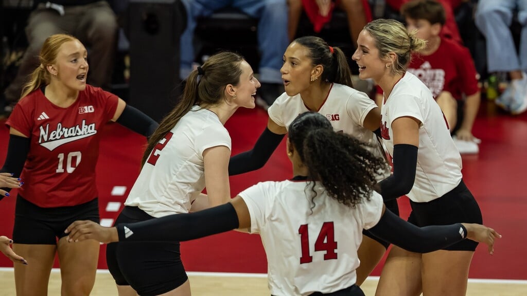
Cooler fall temperatures with partly sunny skies will grace the forecast for any Husker watch parties. For those heading out to New Jersey to cheer on the Big Red, expect partly to mostly cloudy skies during a chilly, breezy afternoon.
Forecast:

Below-average temperatures continue for the eastern half of the state, with warmer weather to our west. Highs will range from the lower 40s to the lower 60s statewide.

We should see plenty of sunshine in Lincoln on Friday with a light northeasterly breeze.

Low temperatures are expected to fall below the freezing point nearly statewide by Saturday morning. Dress in layers if your Friday night or early Saturday morning plans take you out into the elements.

Cloud cover will slowly increase overnight in the Capital City, though it will not do us much good for our overnight lows. Air temperatures will fall to the middle 20s with a light easterly wind.

High temperatures continue in the 40s on Saturday as winds shift to be out of the south and east. This will kick-start a warming trend to follow heading into early next week.

The extended forecast keeps us dry through the first half of next week. Rain chances are possible late Wednesday into Thursday, along with a larger system that looks to take shape across the central plains heading into next weekend. Timing and potentially even precipitation type could change with these systems over the next several days. It will be important to stay up to date with the latest forecast!
Storm Alert Team Meteorologist
Dominic Ferraro
X: DomFerraroWX
Facebook: DomFerraroWX
YouTube: DomFerraroWX