Mostly quiet Wednesday, storms late Thursday into Friday
We will try to warm up a little bit on Wednesday. Clouds will keep the eastern half of the state in the 50s, while sunshine will warm the western half into the 60s.

More sunshine will warm everybody up on Thursday. Upper 60s and lower 70s for everybody!

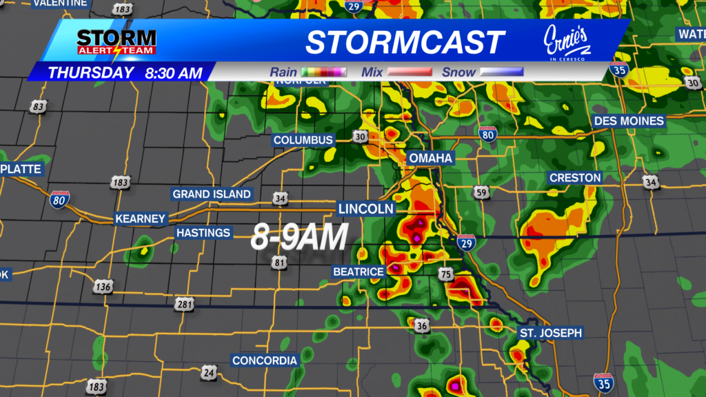
However, late Thursday into early Friday, a warm front will be crossing the state from south to north. See below for how that might look.
Because of the storm potential late Thursday into early Friday, a level 1 “Marginal Risk” has been put in place for much of the state.

Then moving into Friday, southeast Nebraska will have a frontal boundary and possibly a dry line move through late in the afternoon and early evening. Snow will be possible on the other side of the cold front. See below for what that may look like.
Because of this storm threat, there is a “Slight” to “Enhanced” risk for severe weather in place. This will be updated as we get closer to end of the week.

Chief Meteorologist Rusty Dawkins
Facebook: RustyWx
YouTube: RustyWx
TikTok: RustyWx
BlueSky: RustyWx
Instagram: RustyWx
Threads: RustyWx
Twitter: RustyWx