Severe Potential: July 28, 2024
Much of Nebraska is in a level 2 Slight Risk for severe storms today, but for different storm potentials.

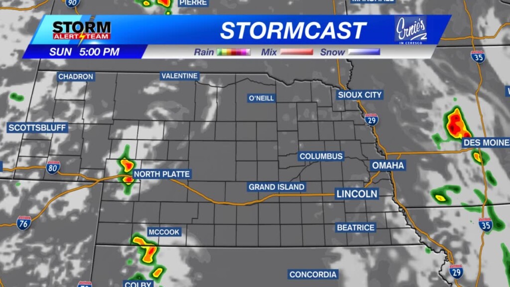
See below for the latest from our StormCast weather model. It’s not too excited about the storm potential, but if a storm can get going, they would get severe very quickly and could outlast what our models are trying to suggest.
First, a line of storms will try to for in eastern Nebraska early Sunday afternoon and push into Iowa as the afternoon progresses. If these storms can get going, all modes of severe storms will be possible.
Next, a wave will move from western Nebraska in the afternoon, into central Nebraska by sunset, then into eastern Nebraska overnight. Models are showing that this wave will fall apart after sunset, but the ingredients are there so if storms can hang on, severe weather will still be possible.
Part 3 includes another wave moving out of South Dakota into NE Nebraska overnight. This may have some severe qualities, as well.
If any of these storms get going, severe weather will be possible. Below is where there is a tornado threat if storms form in the first wave Sunday afternoon and again overnight into early Monday morning.

Large hail will be possible with any of the storms that get going, but especially with the storms in central Nebraska.

Damaging wind will be an issue, as well.


