Storm potential for April 17, 2025
A TORNADO WATCH is now in place for much of eastern Nebraska through midnight, April 18, 2025.

For up to the minute radar, go HERE.
For the latest warnings, go HERE.
For a live look at our Nebraska Weather Cams, go HERE.
And we would love to see video of any storm footage you may get (safely!). You can upload that using our Now Local News App HERE.
There is a chance for strong to severe storms Thursday evening for much of eastern Nebraska. We are in a level 1-3 “Marginal”, “Slight”, and “Enhanced Risk” for severe storms.

Here is what those different levels mean:

Large hail is going to be the main concern. Some areas may see 2″+ hail, which is bigger than a golf ball.

An isolated tornado is also a possibility, especially in the brown 5% area.

Damaging wind is also a possibility. Wind gusts in excess of 60 mph will be possible.

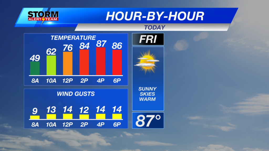
After the storms Thursday night, we cool off dramatically. Highs may not make it to 60 degrees Friday.

We remain cool all the way through Easter weekend with another rain chance on Easter Sunday.

We have quite a few rain chances next week, too!

Chief Meteorologist Rusty Dawkins
YouTube: RustyWx
Facebook: RustyWx
BlueSky: RustyWx
Instagram: RustyWx
Threads: RustyWx
TikTok: RustyWx
Twitter: RustyWx