Storms likely on and off into weekend
There is a SEVERE THUNDERSTORM WATCH in place for portions of western Nebraska through 10pm CDT. If storms can hold together as they move into central and eventually eastern Nebraska, more watches may be needed.
For up to the minute radar, go HERE.
For the latest warnings, go HERE.
For a live look at our Nebraska Weather Cams, go HERE.
And we would love to see video of any storm footage you may get (safely!). You can upload that using our Now Local News App HERE.

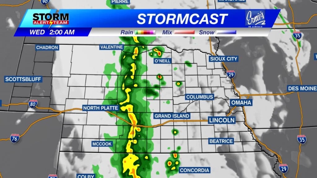
Below is what our latest StormCast model is saying for timing and location of the storms tonight.
After the storms move through tonight into early Wednesday, another line of storms will form Wednesday afternoon and evening in eastern Nebraska. This area has a level 1 “Marginal Risk” for storms.

Storms are possible in Lincoln in the morning, then again after 6pm Wednesday evening. Temperatures will be warm.

Highs will be 5 to 10 degrees above average for everybody on Wednesday.

It’ll be warm the next several days with rain chances again Friday night into the weekend. It gets much cooler after the weekend!

Chief Meteorologist Rusty Dawkins
Instagram: RustyWx
Facebook: RustyWx
YouTube: RustyWx


