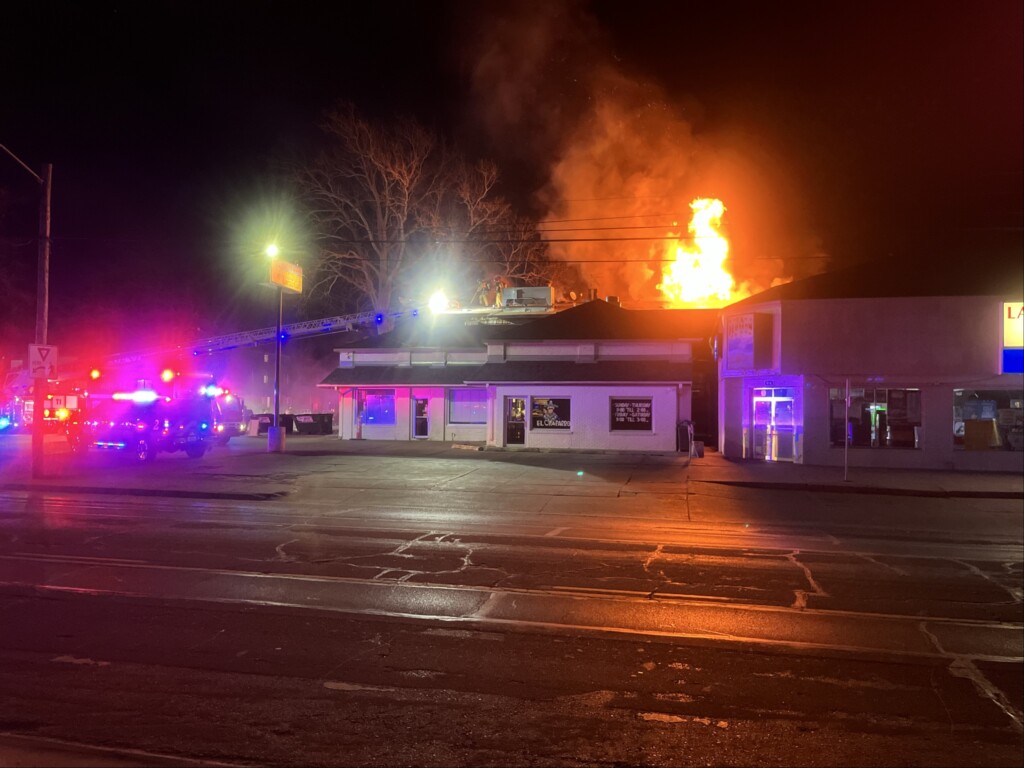
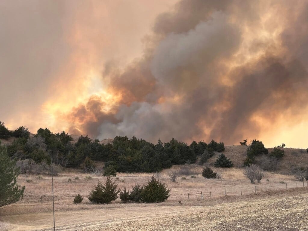
Tornado tracks from July 6, 2024
The National Weather Service has concluded its survey of the storms that dropped tornadoes in south central Nebraska Saturday afternoon and evening, July 6, 2024. Below is a video showing where the tornadoes touched down and below that are details from each tornado track from the National Weather Service out of Hastings.
Minden Tornado

Above: A tornado touched down in the area of the golf course then moved southeast through the northeast part of town, just south of the airport. The ground circulation was likely small and somewhat disorganized at this stage as most of the damage in town was to trees. The tornado grew in intensity on the northeast outskirts of town where a couple metal buildings sustained roof and overhead door damage. The tornado appeared to track along the highway northeast of town before crossing into a corn field and overturning pivots. Based on storm chaser video, this is where the condensation funnel was largest and most obvious. The end of the track between 33 Road and 34 Road was confirmed by drone video submitted to the NWS. The peak rating is based on the tree damage at the golf course, and damage to metal buildings on the edge of town. The tornado width is estimated based on observed damage and storm chaser video. Extensive tree damage was noted further south in the rest of the town of Minden, but this appears to be the result of an intense rear flank downdraft surge of straight line wind.
Norman Tornado

Above: A small tornado touched down near a farmstead northwest of Norman and caused large tree limbs to fall onto a house. The tornado continued southeast where it snapped 4 power poles along K Road, overturned pivots, and carried a small grain bin over 500 yards from it’s original location. The tornado continued southeast and produced a few locations of minor damage before lifting prior to crossing 42 Road southeast of Norman.
Inland Tornado

Above: A multi-vortex tornado, confirmed by storm chaser video, touched down in a corn field just north of the highway rest stop along Highway 6 east of Hastings. The tornado produced intermittent minor tree damage as it drifted south over the rest stop area and near a residence. A new condensation funnel developed over a nearby corn field where a pivot was overturned. The tornado actually curved back to the north, back across the highway, then dissipated shortly thereafter in a corn field. The official track is a best estimation based on a combination of damage and chaser video.
Z Road Tornado

Above: A QLCS tornado touched down at approximately Road 315 and Z Road south of Sutton, then moved north-northeast where it impacted a farmstead along Z Road, just north of Road 316. Within this stretch of the tornado, several EF-1 damage points were noted, particularly with respect to several large wooden power poles snapped, uprooted trees, and destroyed small grain bins. The grain bins were carried approximately 300 to 400 yards downstream into a nearby corn field that also sustained pivot damage. Small farm implements were also carried downwind, and a small chicken coop and other outbuildings were destroyed. Fortunately, the house received only minor damage to the siding. The tornado lifted shortly thereafter just northeast of the farmstead. In addition, a broad swath of severe crop damage was noted in the vicinity of and to the south of the tornado track, likely due to a combination of large hail and straight line wind gusts of 60 to 80 MPH. Here, 5ft tall healthy corn plants were reduced to only 1-2ft stalks, and bean fields were nearly unrecognizable. The approximate tornado width is based on power line damage south of the impacted farmstead.
Roseland Tornado

Above: A small tornado developed within a broader area of damaging wind gusts of 60 to 80 MPH. The tornado developed near the intersection of Highway 74 and Roseland Ave, just southeast of the town of Roseland, then tracked southeast through crop fields causing pivots to overturn. The lone impacted buildings were at a farmstead on Conestoga Ave where part of a roof was removed and several small outbuildings were destroyed. Also, tree damage was particularly worse at this location and a couple power poles were leaning east at the time of the survey. The tornado continued tracking southeast and eventually crossed Highway 74 near Pony Express Rd before dissipating. This tornado likely occurred within a broad area of heavy rain and was not distinguishable in real time against the more pervasive straight-line winds.
Chief Meteorologist Rusty Dawkins
Instagram: RustyWx
Facebook: RustyWx
YouTube: RustyWx