Dry Monday Before Widespread Heavy Rain
High temperatures ranging from 72° – 78° with dew points in the 60s! Much of the state will see mostly cloudy to partly sunny skies.

ESE winds will be quite windy farther west. Wind gusts up to 30-35 mph through the afternoon & evening hours.
‘
Here’s a look at when & where to expect rain from tonight through Wednesday night: Eastern & SE Nebraska will begin to see rain Tuesday afternoon & evening.
Some SEVERE storms will be possible across SE Nebraska Wednesday afternoon. Main concerns would be gusty winds, isolated spin ups & small hail. Stay tuned for the latest.

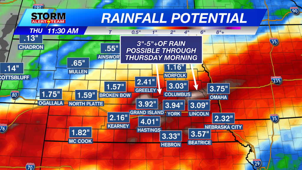
Rainfall totals through THURSDAY look to range from 2.5″-4.5″+ from west->east. FLASH FLOODING will be a concern through this week.

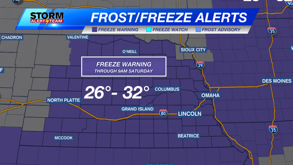
Temperatures look to stay near 66° – 78° through the next 10 days! *Morning temperatures look to stay near 45° – 62°! Some areas could see their first 30s by the end of this week. The best rain chances come Tuesday-Thursday morning. This weekend and next week is shaping up very nicely! Sunny skies & cool temperatures with less active rain chances.

Meteorologist Houston Hall
Facebook: HHallWX
YouTube: HHallWX