SEVERE Storms Through Friday Night
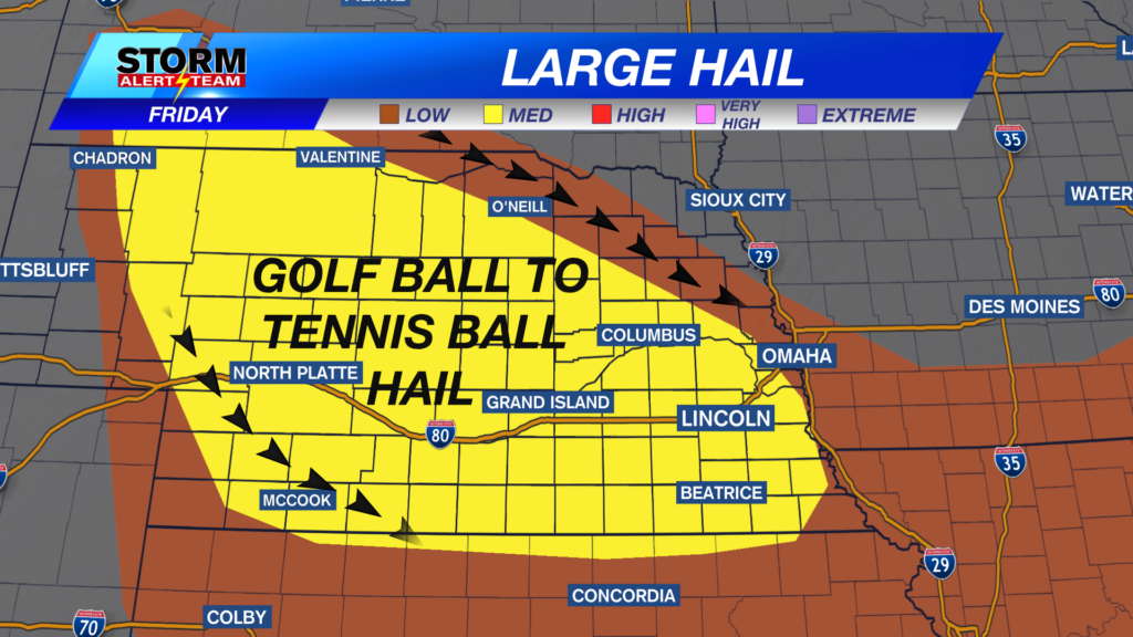
Strong storms capable of large hail > golf balls, 75+ mph winds & heavy rain will occur across Nebraska Friday afternoon into the OVERNIGHT. Have ways to receive alerts.
For up to the minute radar, go HERE.
For the latest warnings, go HERE.
For a live look at our Nebraska Weather Cams, go HERE.
And we would love to see video of any storm footage you may get (safely!). You can upload that using our Now Local News App HERE.

Noon-4pm: Best chance for storms will be across SE Nebraska. STRONG winds & hail will be likely with a few storms.

10pm-midnight: Storms near SE Nebraska & NW Nebraska. This is the timeframe that storms could INTENSIFY rather quick. HAIL & WINDS will begin to show also.

Damaging winds up to 70-75+ mph will be possible with these storms, especially across SW Nebraska. The wind threat will peak late Friday into very early Saturday.

Midnight-6am SAT :The BULK of severe storms will occur during this time. Storms will likely be from a line from Valentine down to SE Nebraska. Damaging winds up to 75+ mph will be the peak threat with LARGE hail also a threat. Stay tuned for the latest!

Best rainfall chance looks to be from west central, NE -> areas along and south of I-80. Some areas could receive another 2-4″ through Saturday morning.

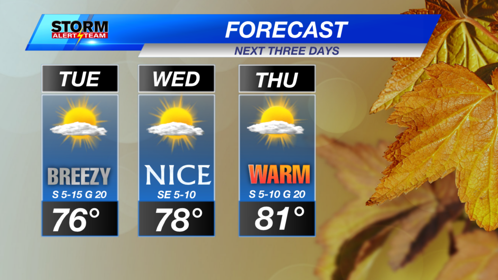
Daily morning and night time rain/storm chances through Tuesday. Temperatures stay between 80-88 degrees through next week.

Meteorologist Houston Hall