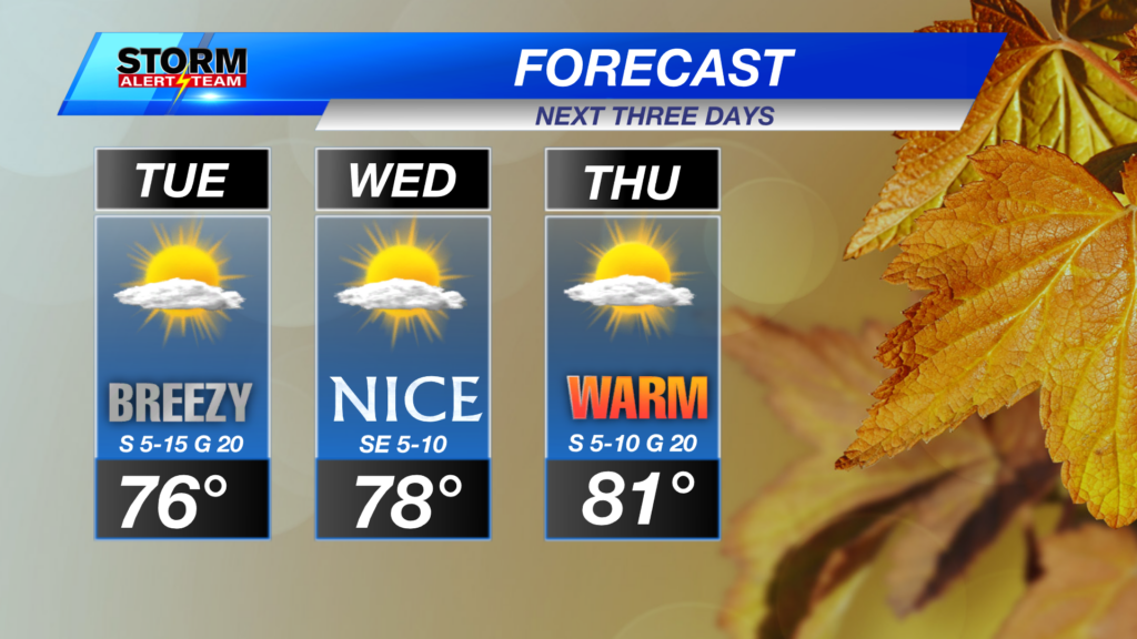
Warm Thursday, Evening Severe Storms
Strong storms capable of golf ball->tennis ball hail, 65-75+ mph winds, a brief tornado & heavy rain will move N->SE this evening across central Nebraska. *TIMING: 5-9PM*
For up to the minute radar, go HERE.
For the latest warnings, go HERE.
For a live look at our Nebraska Weather Cams, go HERE.
And we would love to see video of any storm footage you may get (safely!). You can upload that using our Now Local News App HERE.

5-7pm: Discrete storms will develop from Plainview->Broken Bow & Ord area. Storms that form will carry LARGE HAIL, gusty winds & even a brief tornado chance. *especially on the TAIL end*

A brief spin up or two can’t be ruled out due to the discrete nature of storms. Watching areas around the Greeley & Ord vicinity.

8-10pm: Storms dive south nearing the Tri-Cities area near 8-9pm. All hazards will still be in play, especially the hail & wind threat.


Friday Severe Weather: August 21, 2026
Friday morning brings isolated storms in SE Nebraska, before the main severe threat in SW Nebraska by 6-8pm. Large hail, damaging winds and heavy rain will be the main threats.

Daily morning and night time rain/storm chances through Saturday. Temperatures try and warm up to end the week, before a quick cool down this weekend. Next weekend looks average with minimal rain.

Meteorologist Houston Hall
Facebook: HHallWX
YouTube: HHallWX