Cool & Rainy Wednesday Before Warming Up
Another COOL day across Nebraska under mostly/partly sunny skies! Highs ranging from 75° – 87° with dew points in the 50s & 60s! Very comfortable air and temperatures! Rain will end after 3-4pm, making for sunny skies for any evening plans!

11-2pm: Rain begins to lessen as it moves east. A few showers/T-storms could persist from Lincoln & east through 2-3pm. Sunshine Wednesday evening!

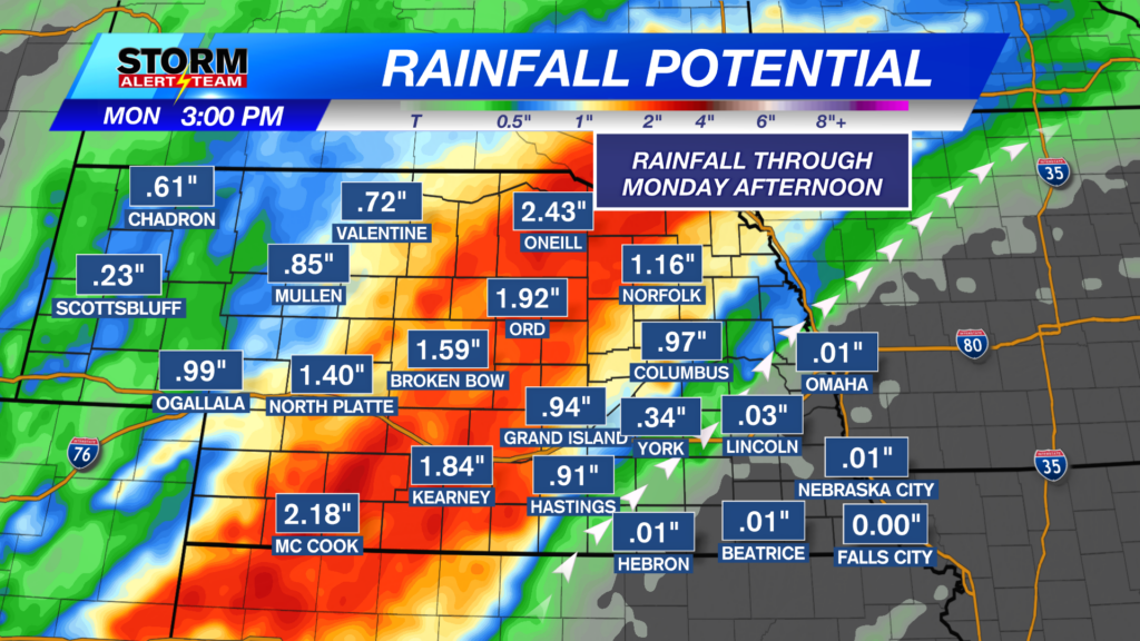
Rainfall potential through this afternoon looks to be the best from York and areas south/east.

Thursday morning, widespread DENSE FOG will develop across much of the state! The thickest fog will be where rainfall occurred previously* SE Nebraska*.

Thursday evening/night, a MARGINAL risk for severe weather is in place across north central Nebraska. As we know, if these storms can continue to drift SE overnight, they could carry those gusty winds up to 50-60 mph. We will keep you updated on the latest!

Today will bring the best chance for widespread rainfall across SE Nebraska. The next 7 days, there will be occasional night time storm chances with any severe concerns being gusty winds. We will watch the latest model trends in case anything changes. As of now, it looks like next week brings decent rain/storm chances across the state with near or BELOW average temperatures!

Meteorologist Houston Hall
Facebook: HHallWX
YouTube: HHallWX