COOL Tuesday Before Widespread Rain
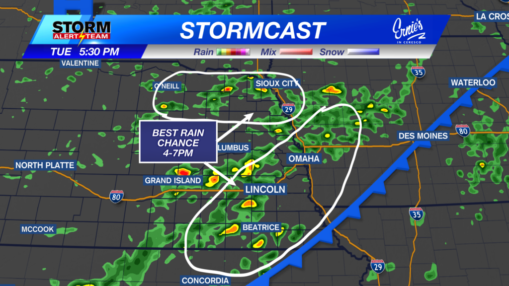

As of midday Tuesday, a Marginal Risk (Level 1 out of 5) of severe weather has been introduced in southeast Nebraska. Isolated severe storms are possible on Tuesday night into early Wednesday. The strongest storms could be capable of quarter-sized hail and wind gusts up to 60 miles per hour
- For up-to-the-minute radar: CLICK HERE.
- For the latest warnings: CLICK HERE.
- For a live look at our Nebraska Weather Cams: CLICK HERE.
- And we would love to see video of any storm footage you may get (safely!). You can upload that using our Now Local News App: CLICK HERE.
A COOL, breezy & hazy day across Nebraska! Highs ranging from 68° – 82° with dew points in the 50s & 60s! Very comfortable air and temperatures!


Tuesday evening could bring some dense surface smoke across the east. This will make for hazy skies and a nice sunset! Send in any pictures if you take any!

Wednesday’s Rainfall: August 5, 2026
4-6am: Early Wednesday, rain/storms will develop from Omaha to North Platte. The farther north, HIGH pressure will lay= LESS RAIN.

7-9am: Bands of moderate to heavy rain will occur across SE Nebraska, with lighter rain farther west.  Umbrella will be handy.

11-2pm: Rain begins to lessen as it moves east. A few showers could persist from Lincoln & east through 2-3pm Wednesday. Sunshine Wednesday evening!

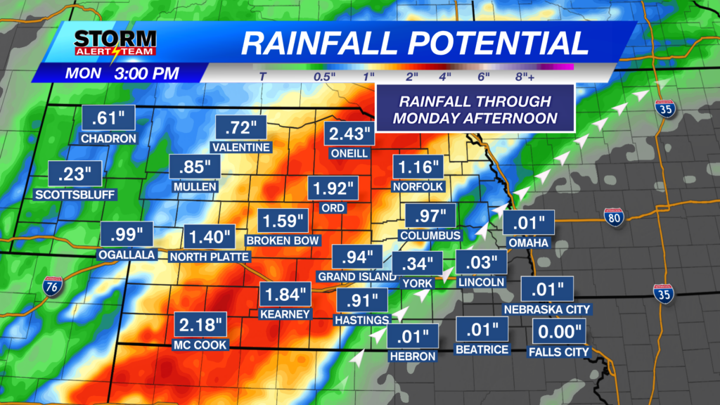
Rainfall potential through Wednesday evening looks to range from 0.75″-2.5″+, with the heavier totals in eastern/SE Nebraska.

Tuesday brings cooler air and afternoon rain across SE Nebraska. Wednesday will bring the best chance for widespread rainfall. A hot weekend with rain/storm chances starting as early as Sunday afternoon.

Meteorologist Houston Hall
Facebook: HHallWX
YouTube: HHallWX