Cooler Saturday, Daily Storm Chances Through Next Week
Weather Headlines:
Storms are possible through the first half of the day on Saturday. A few strong to severe storms are possible, as well.

One to two strong to severe storms cannot be ruled out Saturday morning and afternoon. A Marginal Risk (Level 1 out of 5) of severe weather is in place for south central and southeastern Nebraska. Large hail and damaging winds would be the main concerns with any strong storms.
Here is a potential look at the radar through early Sunday morning, according to the latest run of StormCast. Scattered showers and storms remain possible through the weekend; make sure to stay weather-aware!

The weather looks to cooperate for the Husker game, with Nebraska taking on Bowling Green at 6 p.m. A few showers cannot be ruled out for any tailgates, though we should see clear skies by kickoff.

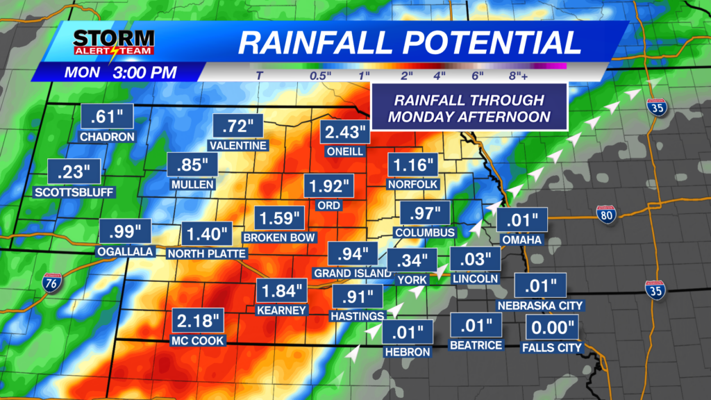
Monday evening will bring yet another chance of storms to southeast Nebraska. The Storm Prediction Center is monitoring an area from southeast Nebraska through southwest Wisconsin that could see severe weather.
Forecast:

Lows will range from the 50s to the 60s statewide. A pleasant evening ahead for most, outside of the chance for an isolated shower or storm.

An isolated storm or two remains possible in Lincoln before the start of the weekend. Temperatures will fall to the mid-60s for the start of the day on Saturday.

Cooler weather returns for most of the state by Saturday afternoon. Expect highs to range from the lower 70s to lower 80s.

A few showers and possibly a rumble of thunder could linger near the Capital City through midday. Expect skies to clear with temperatures in the upper 70s for Saturday evening.

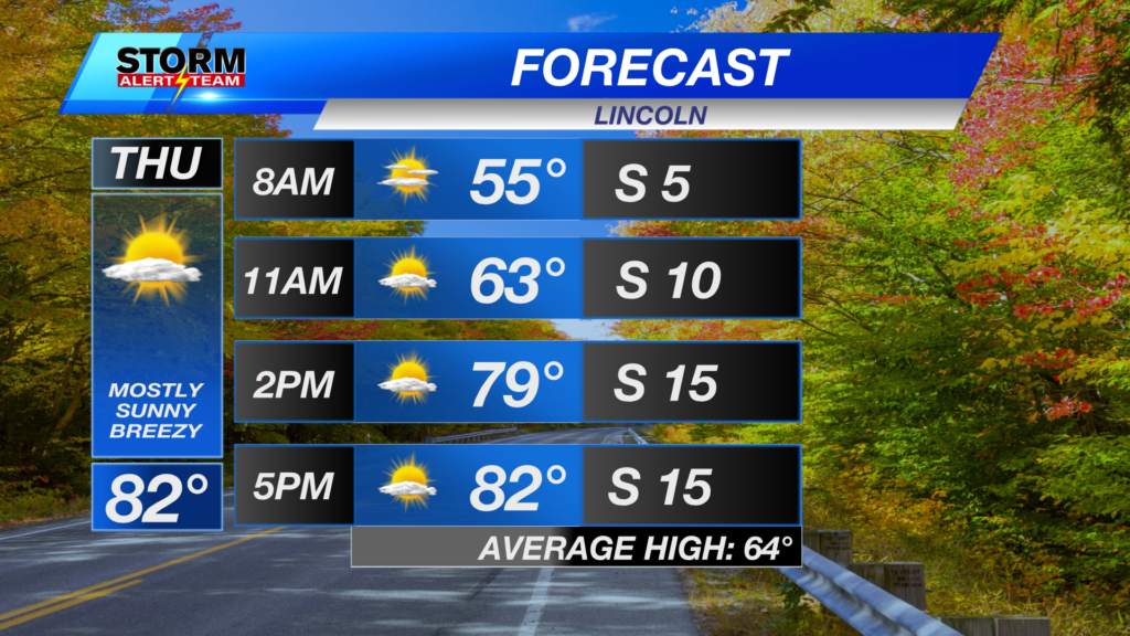
After another brief warm-up on Monday, fall-like temperatures become a mainstay in the forecast. Highs will fall to the 70s for most, alongside nearly daily chances for showers and thunderstorms.
Storm Alert Team Meteorologist
Dominic Ferraro
X: DomFerraroWX
Facebook: DomFerraroWX
YouTube: DomFerraroWX