Warm, Breezy Monday with Evening Severe Storm Threat
Weather Headlines:

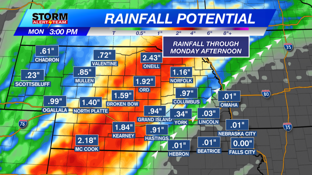
Not only will it be much warmer at the start of the work week, but chances of severe weather will return to the forecast for Monday evening. A Slight Risk (Level 2 out of 5) of severe weather is in place, meaning scattered severe storms are possible. However, evening severe weather potential could be impacted by ongoing showers and storms expected to move through Monday morning.
The latest run of StormCast shows multiple waves of showers and storms impacting our area. It will be important to stay weather-aware throughout your Monday.
If storms can reach their full potential, an isolated tornado (EF2+ could be possible), two-inch hail (lime-sized) or larger and wind gusts between 65 and 75 miles per hour would be possible.

Additional chances for showers and storms remain in the forecast through the week ahead. Storm coverage will be fairly scattered, which should help keep flooding concerns isolated.
Forecast:

Temperatures statewide will slowly drop to the upper 50s and lower 60s through Monday morning.

We may need the umbrella for the start of the work week in Lincoln. Overnight chances for showers and thunderstorms could linger long enough to impact the morning commute.

A very different story on the way for Monday afternoon in terms of our temperatures statewide. Highs are expected to reach the upper 80s and lower 90s, while most struggled to leave the 60s on Sunday.

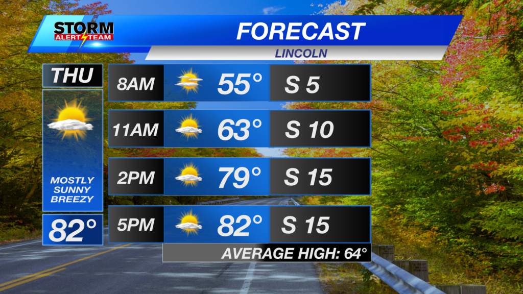
A mix of clouds and sun for the Capital City before evening chances for showers and storms. It will be warm and windy for the start of the work week, with highs returning to the 90s.

Strong southerly winds will help bring in heat and the moisture needed to fuel evening storm chances. Winds will be capable of gusting up to 40 miles per hour.

After a busy Monday forecast, temperatures cool down across the state on Tuesday. Many return to below-average conditions, with highs in the 60s and 70s.

Several upper-level disturbances will pass through the central plains for the week ahead, giving us nearly daily chances of showers and storms. These will also help keep temperatures down, with highs in the 70s heading into late September.
Storm Alert Team Meteorologist
Dominic Ferraro
X: DomFerraroWX
Facebook: DomFerraroWX
YouTube: DomFerraroWX