Stormy morning then turns into warmer day Tuesday
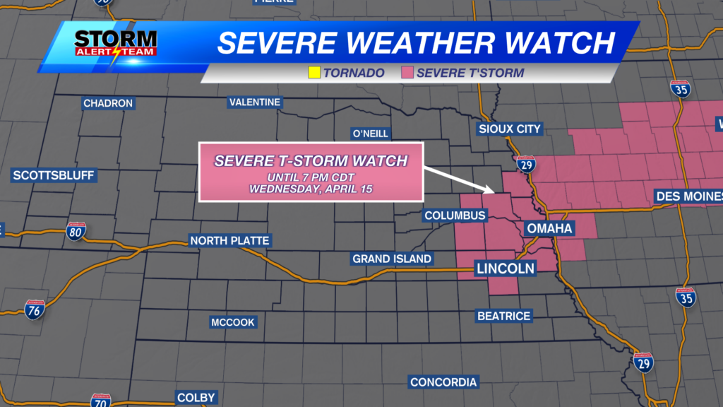
Several thunderstorm warnings were issued across the state of Nebraska from Monday into Tuesday morning, including for the city of Lincoln, Beatrice and Kearney.
Storm reports include hail up to half dollar size up near Valentine from Monday evening. Hail was up to 1″ in the Kearney area, but no storm reports so far have come in for southeast Nebraska.
For many, rainfall amounts have been about a couple tenths to a half inch through 7 a.m. Tuesday morning. All of Lincoln’s rain came in about 20 minutes.
A Dense Fog Advisory is in effect through the mid-morning hours for central and southwest Nebraska Tuesday morning. Reduced visibility, below a 1/4 mile at times, is expected to impact the morning commute.
Cloudy conditions at first will give way to more sunshine in the afternoon as overnight storms continue to push south and east of Nebraska. Anticipate morning temperatures to mainly be in the 60s for a while.
Then we’re back to warmer temperatures around 80° for much of Nebraska by the second part of the day. If we get to 80 in Lincoln, it would be the first time in about 10 days as we’ve had quite the cooler stretch from late August into early September.
A few isolated storms Tuesday afternoon and night pose a severe risk for hail and damaging wind in southwest Nebraska. A Marginal (Level 1 of 5) risk highlights southwest Nebraska down toward the Panhandle of Texas today.
Beyond Tuesday, temperatures continue to climb this week.
Our warmest days ahead will be Friday and Saturday with high temperatures right around 90°.
Meteorologist Jessica Blum
Twitter: JessicaBlumWx
Facebook: JessicaBlumWx
Bluesky: JessicaBlumWx
YouTube: JessicaBlumWx


