Several storm chances, remaining warm
An unsettled weather pattern is over us right now and it’s going to stick around for a few days. Temperatures will be warm, but close to average for mid August.

There is a level 1 “Marginal Risk” for severe storms late Thursday into early Friday. Damaging wind and hail will be possible.
Above is what our StormCast weather model is saying for timing, duration, and location of the storm chances Thursday night into Friday.

The Drought Monitor has almost no changes from the week before, however, the data does NOT reflect the rain from Wednesday night into Thursday.

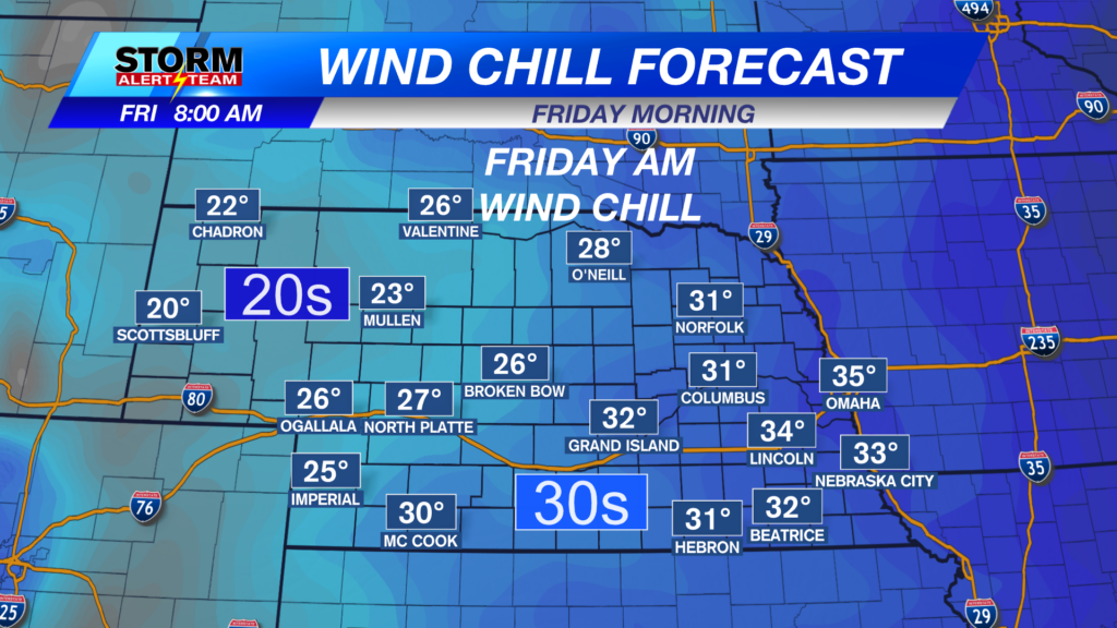
Highs on Friday will be near normal in SE Nebraska, but cooler further north and northwest.

We do that again on Saturday.

Speaking of Saturday, there’s another chance for severe storms to start the weekend. Timing would be late afternoon into the evening.

Sunday has a severe weather threat as well, which will be during the early morning hours.

Chief Meteorologist Rusty Dawkins
Facebook: RustyWx
YouTube: RustyWx
TikTok: RustyWx
BlueSky: RustyWx
Instagram: RustyWx
Threads: RustyWx
Twitter: RustyWx