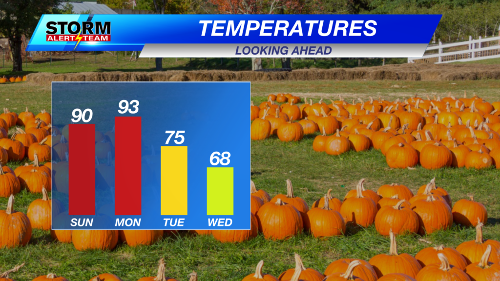
LAST HOT DAY Before Fall Air Arrives
One last HOT day across SE Nebraska! High temperatures ranging from 87°-95°. The long awaited cold front moves through near 7-9pm!

Cool & Hot today from NW->SE! High temperatures statewide ranging from 67° – 95° with dew points in the 40s, 50s & 60s! Winds will be breezy ahead of the front.

S->NW winds will gust up to 25–35+ mph across SE Nebraska. Winds relax tonight.


Tuesday, 7-10pm: Showers & T-storms will be possible across SE Nebraska. Some storms could be severe due to small hail & gusty winds.

Rainfall potential through Wednesday morning look to range from a few hundredths to 0.25″+.

High temperatures look to stay near 58° – 75° through the next 10 days! *Morning temperatures look to stay near 33° – 53°!Isolated rain/ storms Monday & Tuesday night. The BEST RAIN CHANCE arrives Thursday. Some NEAR FREEZING temperatures Friday-Saturday morning. This weekend into next week looks BEAUTIFUL & much more like Fall!

Meteorologist Houston Hall
Facebook: HHallWX
YouTube: HHallWX