Severe storms tonight and Tuesday
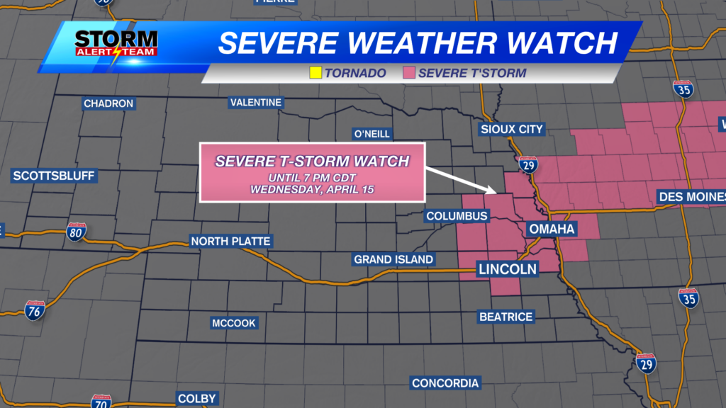
A SEVERE T-STORM WATCH is in place for central and eastern Nebraska through 7AM Tuesday.
This is the beginning of storms moving across Nebraska tonight.
Flood Watches are in place into Tuesday for a heavy rain potential that may lead to some flooding. Excessive runoff may result in flooding of rivers, creeks, streams, and other low-lying and flood-prone locations.
Above is what our StormCast model is showing for storms tonight into early Tuesday morning. Several waves of storms are possible with each wave having the potential for large hail, damaging wind, tornadoes, and heavy rain.
Total rainfall may exceed an inch in may areas. Some spots may see over two inches of rain by Tuesday afternoon.
There is a Level 3 “Enhanced Risk” and level 2 “Slight Risk” in place for much of Nebraska for storms tonight.
There is also a severe weather threat on Tuesday. Storms will start in eastern Nebraska and quickly move east into Iowa where there is a level 4 “Moderate Risk” for severe storms.
Above is what our StormCast weather model is showing for the storm chance Tuesday morning and afternoon. Notice how storms start to get strong in eastern Nebraska by the afternoon, but quickly move east. When these storms start to get strong is when the large hail, damaging wind, and tornadoes will become possible.
After Tuesday, we quiet down for a couple days, but do see a storm chance late Thursday into Friday.
Chief Meteorologist Rusty Dawkins
Instagram: RustyWx
Facebook: RustyWx
YouTube: RustyWx


