Storm potential for SE Nebraska Tuesday, then dry for a while
Storms will form in SE Nebraska Tuesday afternoon and quickly race east. Storms that do form may be strong to severe. We quiet down for a couple of days then see a small chance for storms Friday into Saturday. Temperatures will be at or above average over the next week and a half.
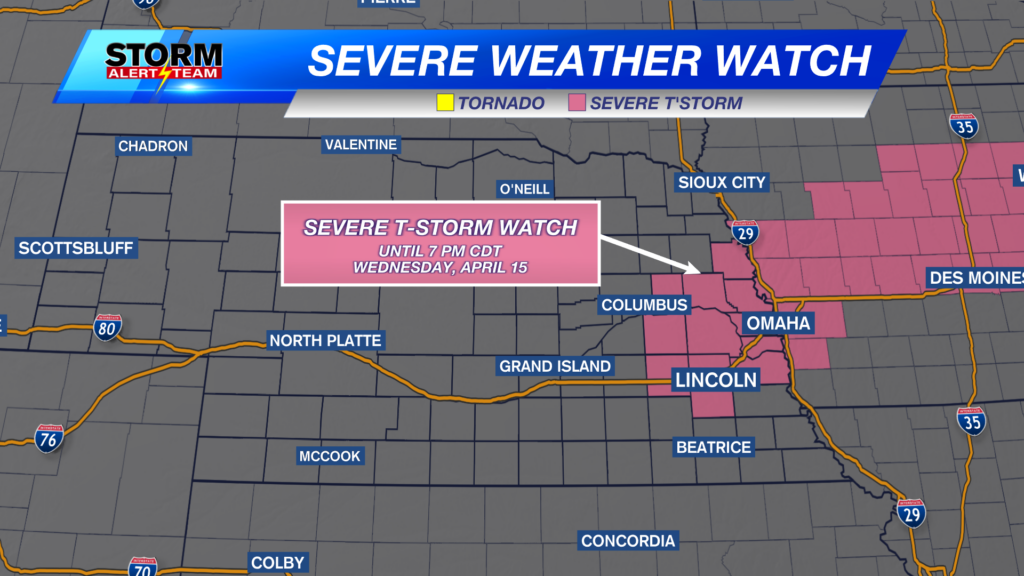
Eastern Nebraska is on the very western edge of a severe weather threat on Tuesday. Storms will try to form along a line from Omaha to Beatrice, then quickly move east.
Above is what our latest StormCast weather model is showing for the storm potential on Tuesday. If storms do form in eastern Nebraska, they will quickly move into Iowa and Missouri.
If storms do form, all modes of severe storms will be possible. The area shaded in green above will have a small chance at a tornado.
Large hail will also be a possibility. The better chance for hail will be in the yellow 15% area.
Damaging wind will also be a threat in the same area as the large hail.
Temperatures will start off very warm. Well be close to 70 degrees at 7am and warm into the lower 80s by the afternoon.
We will all get into the lower and middle 80s by early Tuesday afternoon with a wind switching from the south to the northwest at 10 to 20 mph.
Chief Meteorologist Rusty Dawkins
Instagram: RustyWx
Facebook: RustyWx
YouTube: RustyWx


