Severe weather potential Sunday, June 16, 2024
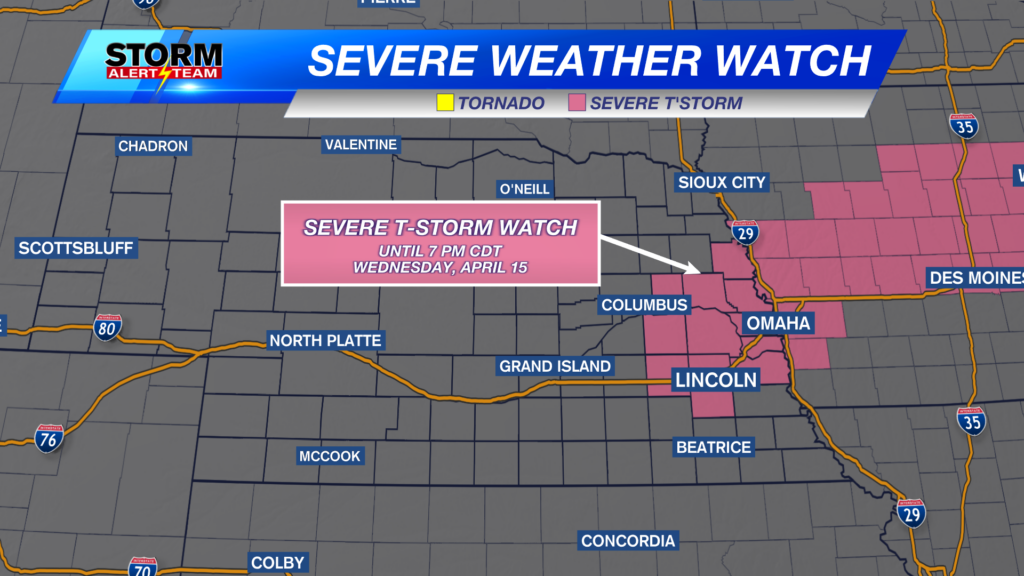
A Severe Thunderstorm Watch is in place from SW to NE Nebraska through 2:00am CDT Monday morning.
A Severe Thunderstorm Watch is also in place for north central and western Nebraska through 5:00am CDT Monday morning.
For up to the minute radar, go HERE.
For the latest warnings, go HERE.
For a live look at our Nebraska Weather Cams, go HERE.
And we would love to see video of any storm footage you may get (safely!). You can upload that using our Now Local News App HERE.
Much of the state is in a level 2 “Slight Risk” for severe weather Sunday. Storms are expected to form late in the afternoon and may last into the overnight.
Below is what our StormCast weather model is saying for storms Sunday afternoon into the evening hours. Storms will have to overcome a healthy cap, so thunderstorms aren’t a guarantee, but if they can form, they will likely get strong very quickly.
If storms are able to form, an isolated tornado or two will be a possibility.
Large hail will also be a possibility.
Damaging wind will also be an issue should storms eventually form.
Moving forward into Monday, there will be another potential for severe weather in the afternoon and early evening. The Storm Prediction Center has us in another Marginal to Slight Risk (below).
And it doesn’t stop there. Tuesday (below) will have it’s own chance at seeing more severe weather.
Chief Meteorologist Rusty Dawkins
Instagram: RustyWx
Facebook: RustyWx
YouTube: RustyWx


