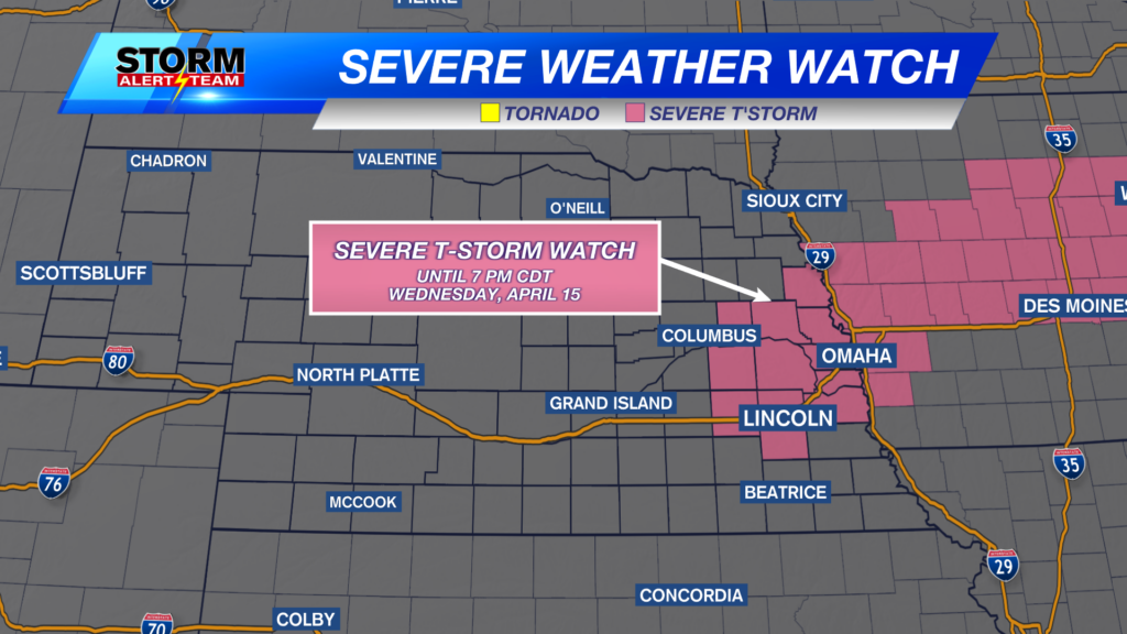
Severe Thunderstorm Watch: June 26, 2024
A SEVERE THUNDERSTORM WATCH is in place for central Nebraska through 4:00am and for eastern Nebraska through 7:00AM Wednesday.
For up to the minute radar, go HERE.
For the latest warnings, go HERE.
For a live look at our Nebraska Weather Cams, go HERE.
And we would love to see video of any storm footage you may get (safely!). You can upload that using our Now Local News App HERE.
Below is what our StormCast weather model is saying for timing of storms overnight. Scattered showers and storms are possible all the way through early Wednesday morning.
There is a small threat for an isolated tornado or two with storms that do form. The bigger threat will be large hail. Damaging wind will also accompany any of the storms that get going this evening.
After the storms move through, cooler air will move in for a while. Wednesday, while still warm, will see highs very close to normal.
The next chance for severe storms comes Wednesday night for western Nebraska and for much of the state on Thursday. (see below!)
Chief Meteorologist Rusty Dawkins
Instagram: RustyWx
Facebook: RustyWx
YouTube: RustyWx


