Severe weather potential Wednesday into AM Thursday
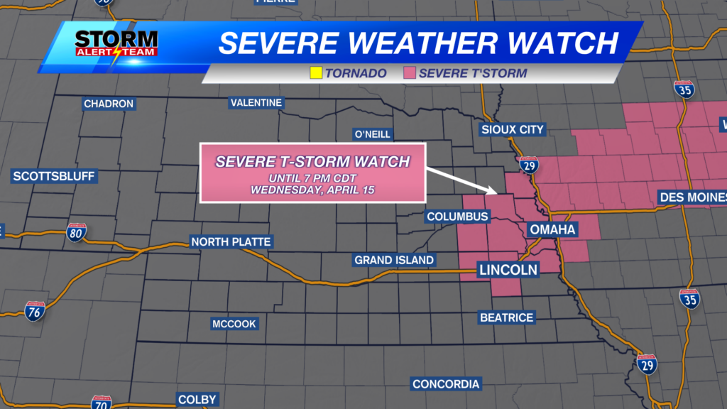
A SEVERE THUNDERSTORM WATCH is in place through 11:00pm, Wednesday, May 14, 2025 for portions of central and western Nebraska and until 3:00am for north central and northeast Nebraska.
For up to the minute radar, go HERE.
For the latest warnings, go HERE.
For a live look at our Nebraska Weather Cams, go HERE.
And we would love to see video of any storm footage you may get (safely!). You can upload that using our Now Local News App HERE.
Below is what our latest StormCast weather model is saying for timing, duration, and location.
The main threat for these storms will be large hail. Hail in excess of 2″ is a possibility. This is bigger than a golf ball, and possibly bigger than tennis balls.
A few isolated tornadoes are possible, as well. A large area is highlighted below with a 5% chance. These will likely be short lived and of the lower end variety, but one or two stronger tornadoes can’t be ruled out.
Damaging wind in excess of 60 mph will be possible for just about the entire state.
Chief Meteorologist Rusty Dawkins
YouTube: RustyWx
Facebook: RustyWx
BlueSky: RustyWx
Instagram: RustyWx
Threads: RustyWx
TikTok: RustyWx
Twitter: RustyWx


