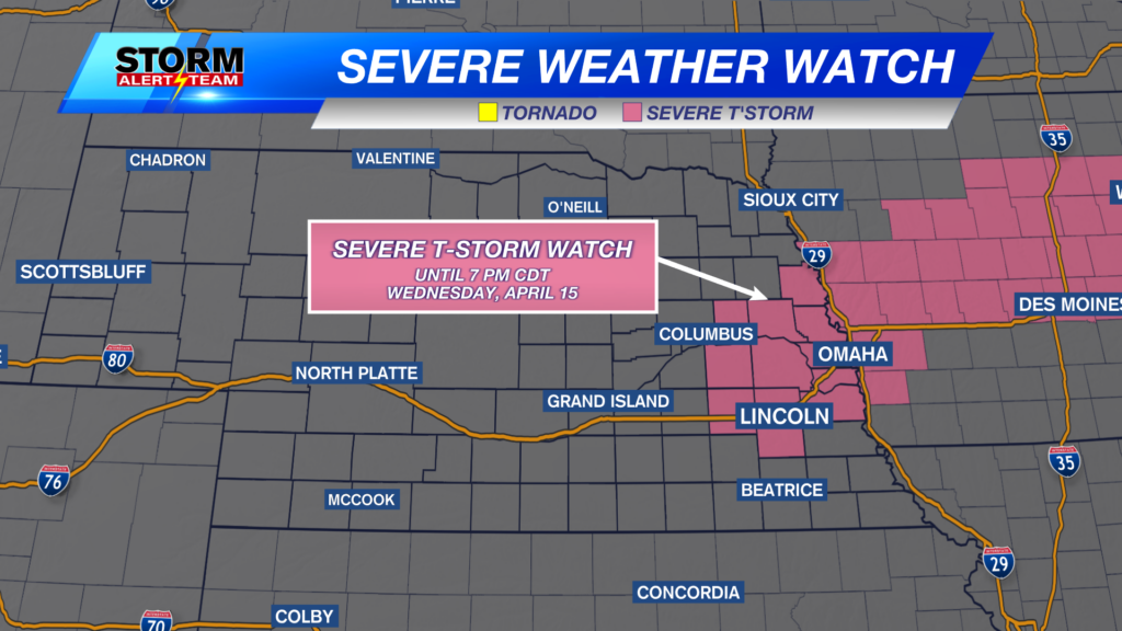
Storm chances increasing
It’s that time of year! Storms are becoming more and more likely and the next three days are evidence of that.
Most of Sunday will be dry for much of the state, but late in the afternoon storms start to pop in western Nebraska. Those storms then move from west to east. See below for timing and location.
Those storms have a really good chance at dropping some big hail. In fact, most of the state has a chance to see hail bigger than golf balls.
Tornadoes are also possible with storms that do form. I know 2-5% doesn’t sound like a big number, but it usually means there are at least a few tornadoes during the event.
Overall, the threat for severe weather is a level 1-3, “Marginal”, “Slight”, and “Enhanced” Risk. The highest risk for severe storms will be in western Nebraska when the storms first start up.
Fast forward to Monday where another chance for severe weather exists. See below for what our StormCast weather model is saying for location and timing for this round.
The eastern half of Nebraska has a chance for severe storms with the risk being higher the further southeast you go.
Chief Meteorologist Rusty Dawkins
YouTube: RustyWx
Facebook: RustyWx
BlueSky: RustyWx
Instagram: RustyWx
Threads: RustyWx
TikTok: RustyWx
Twitter: RustyWx


