Snow chance early Tuesday, then storm chances by mid week
After a quick clipper system drops some snow across parts of Nebraska, spring comes back with thunderstorm chances and warmer weather.

A Winter Weather Advisory is in place for Saunders, Sarpy, Douglas, Dodge, Cuming, Burt, and Washington counties in eastern Nebraska. A few inches of snow are possible in this area late Monday into Tuesday morning.

The best chance for snow will be in far eastern Nebraska into SW Iowa. North central and much of the rest of eastern Nebraska will see less than an inch of snow with rain mixing in. Snow is expected to start late Monday night.
Timing has most of the snow in Nebraska falling before sunrise Tuesday with rain mixing in at times.

The area that has the better chance for snow early Tuesday will much colder than everybody else. North central and northeast Nebraska may not make it out of the 30s.

It doesn’t take long to warm back up, though. 60s and 70s for just about everybody is expected by Wednesday.

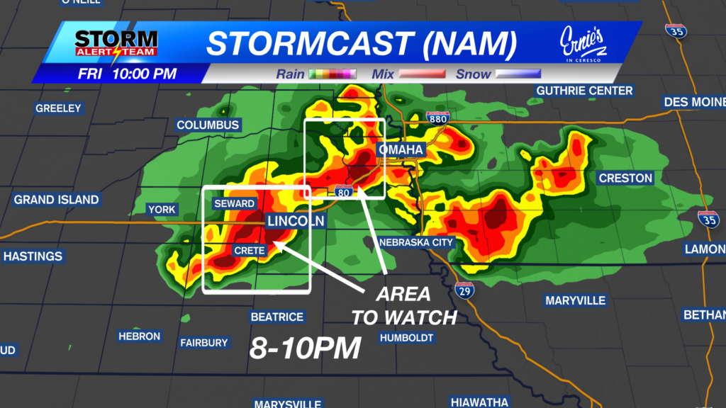
Spring shows up over the next several days with thunderstorm chances all the way through early next week!
Chief Meteorologist Rusty Dawkins
Facebook: RustyWx
YouTube: RustyWx
TikTok: RustyWx
BlueSky: RustyWx
Instagram: RustyWx
Threads: RustyWx
Twitter: RustyWx