HOT Labor Day With Storms Tuesday
A HOT & windy Labor Day across Nebraska under mostly/partly sunny skies! Storms SW->NE Monday evening & night. Cooler air soon! Read more below.
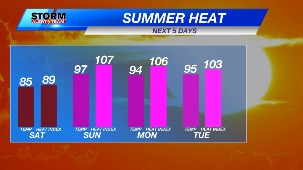
High temperatures Monday afternoon ranging from 92° – 100° with dew points in the 60s/70s! Heat index values across eastern Nebraska near 97° – 105°! After Tuesday, things will feel ALOT more better & refreshing!
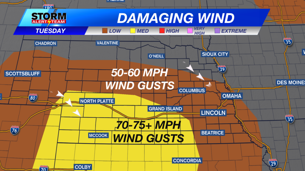
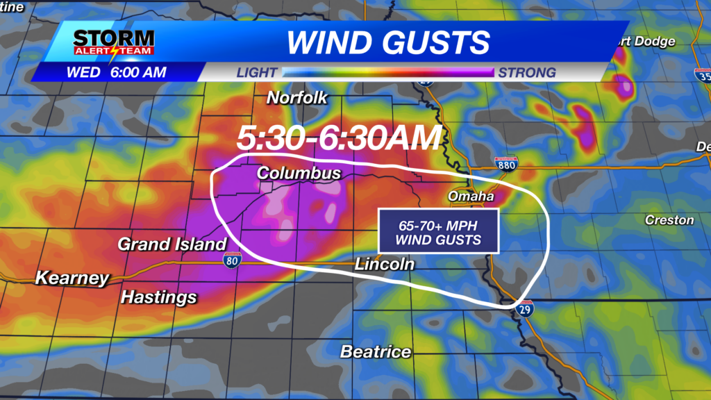
SE winds will be quite windy across eastern Nebraska Monday. Gusts up to 30-35+ mph. Winds continue through Tuesday along our long awaited COLD FRONT!
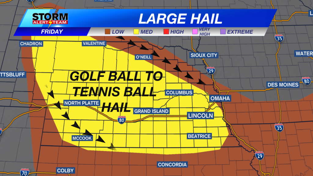
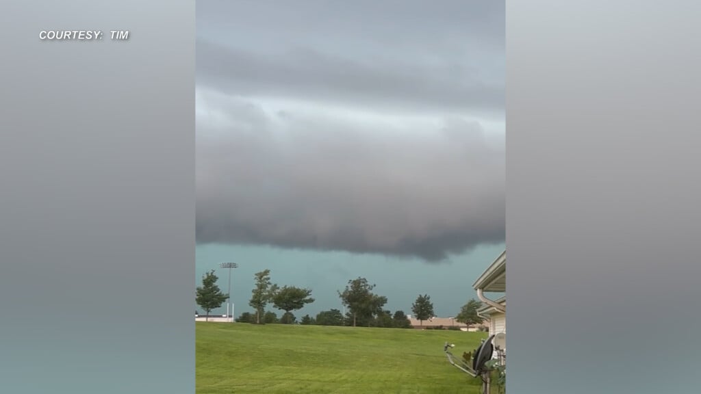
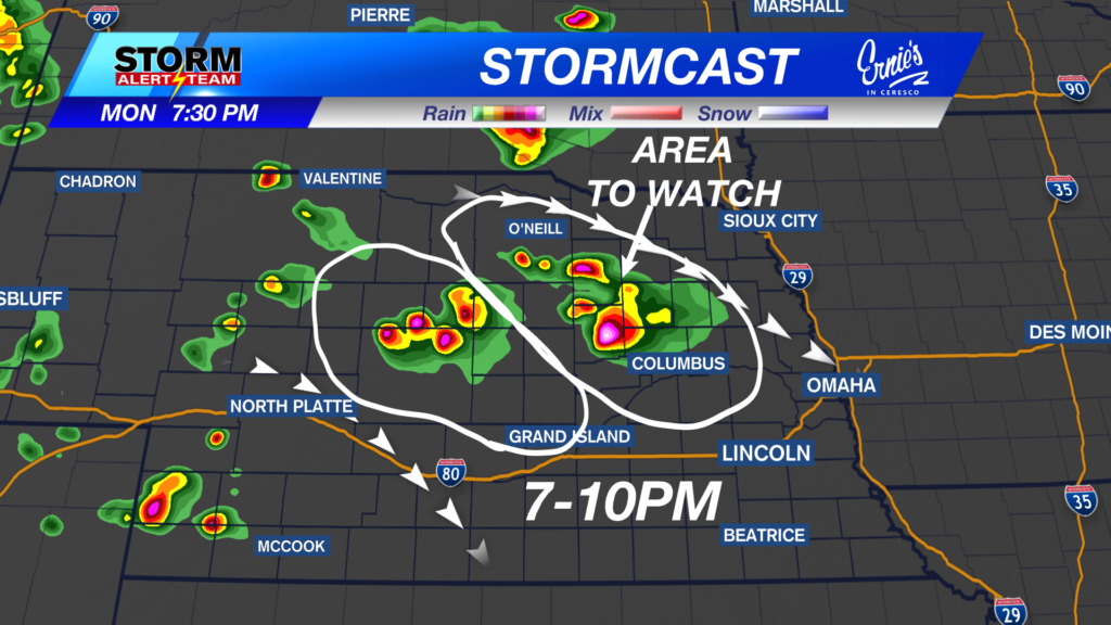
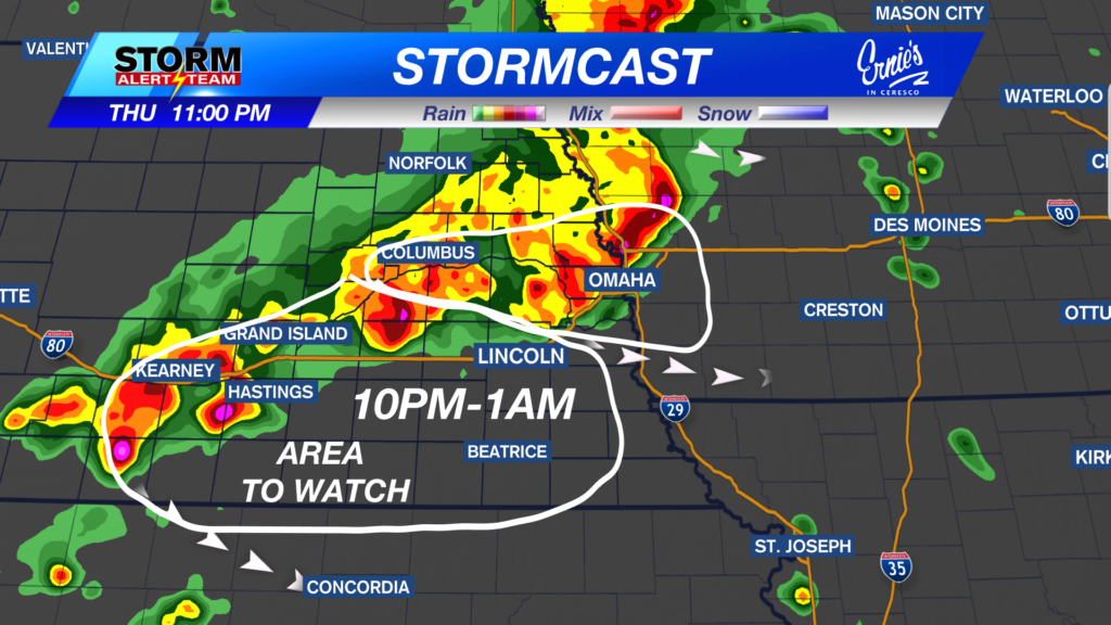
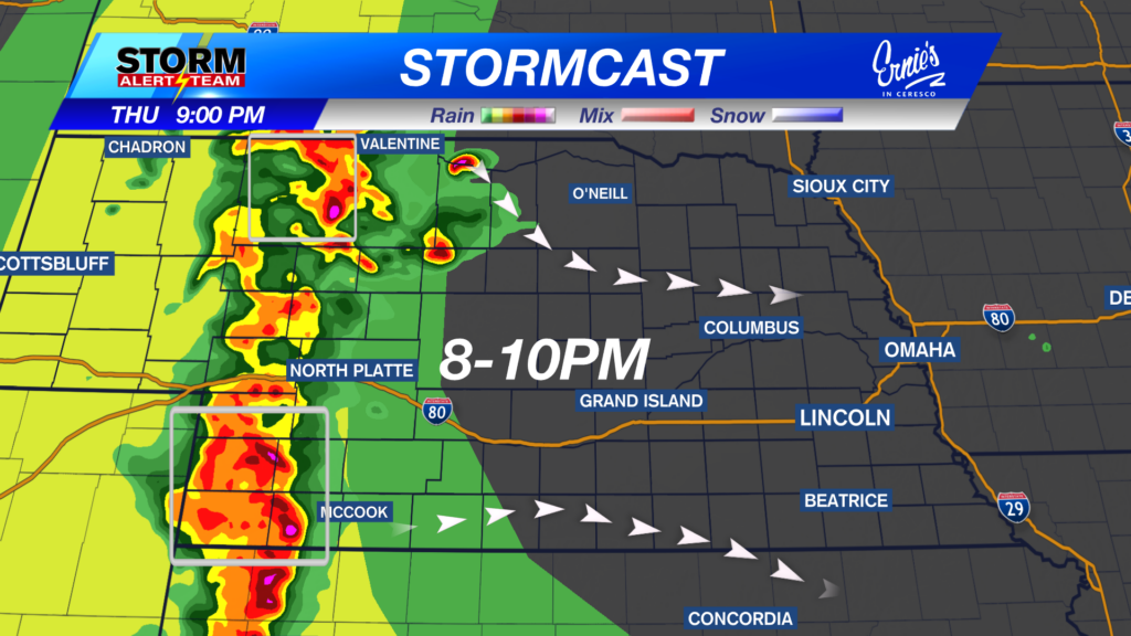
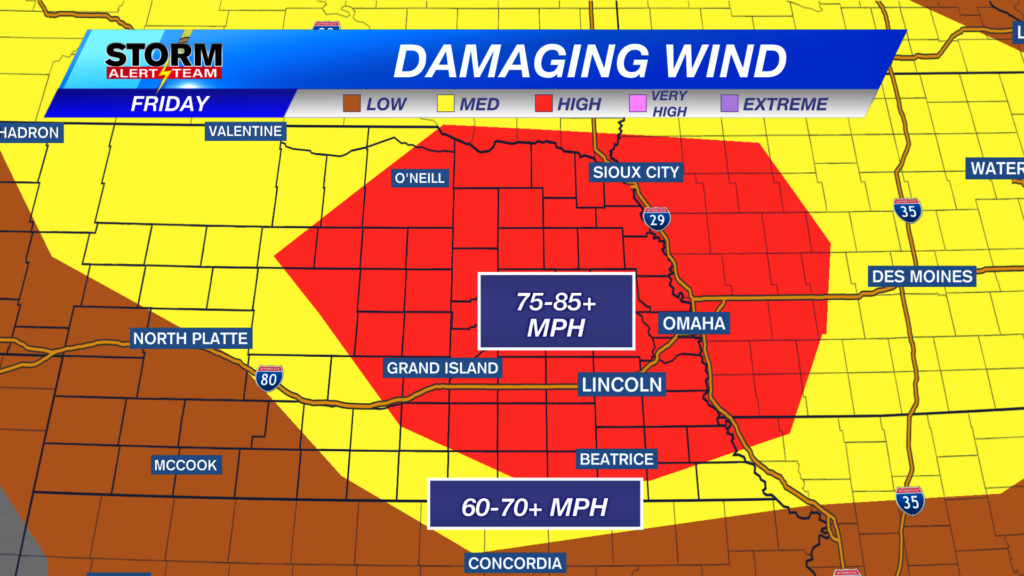
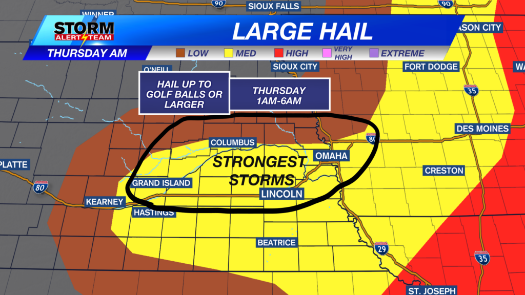
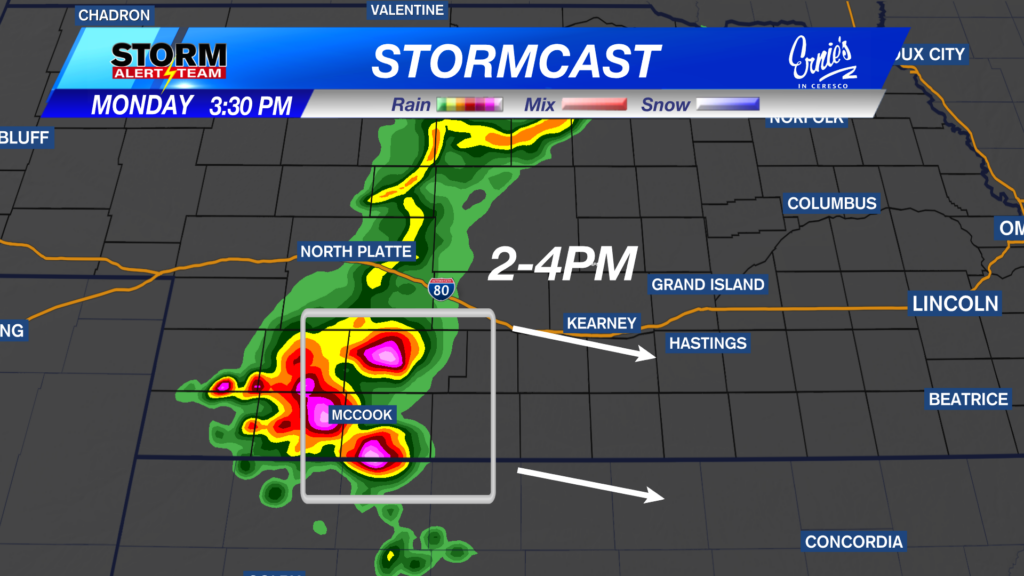
6pm- midnight: Storms capable of large hail & winds up to 65+ mph will develop SW->NE near 6-7pm with a ENE motion. The severe weather threat moves across SE Nebraska Tuesday!
Severe Weather Tuesday: September 8, 2026
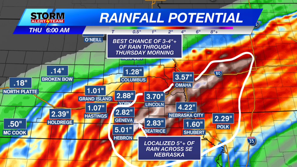
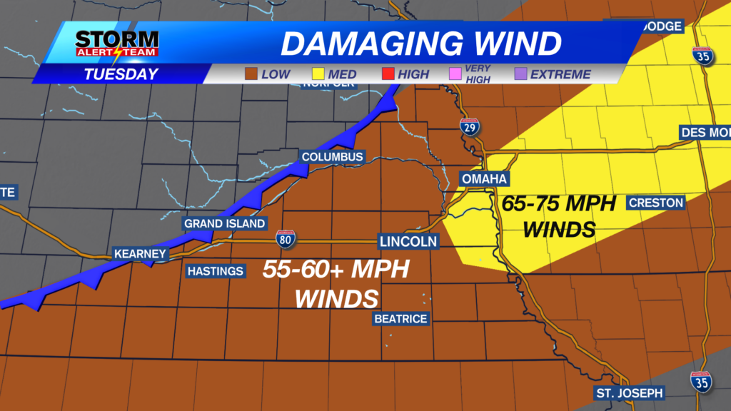
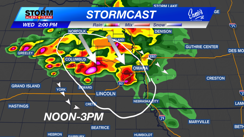
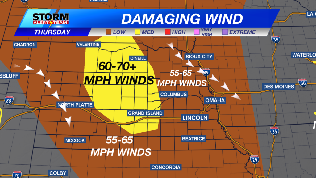
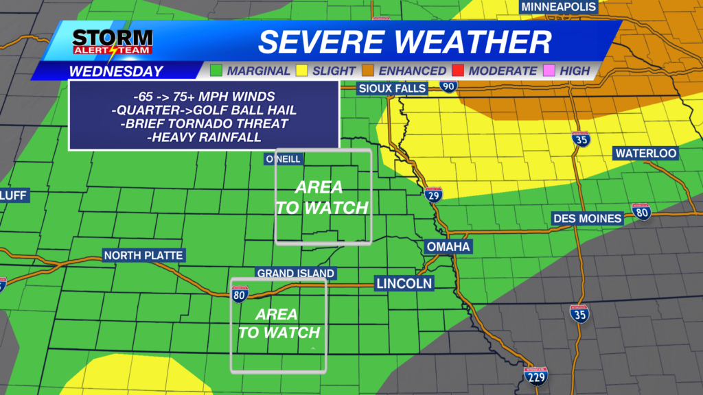
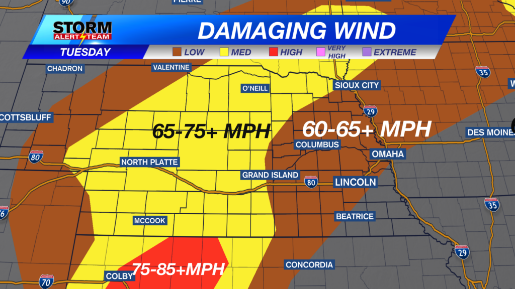
Tuesday afternoon, a few strong to severe storms capable of 60+ mph wind, small hail & heavy rainfall will occur across SE Nebraska. This is all ahead of our long awaited cold front & new refreshing air.
7-9pm: Storms stay in SE Nebraska- south of Omaha, carrying gusty winds & small hail.
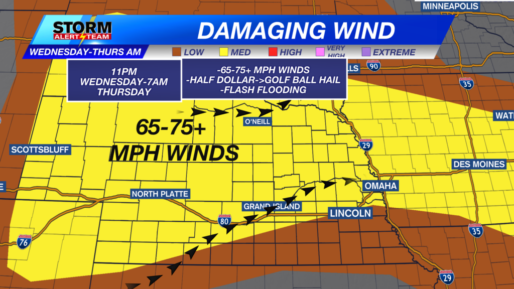
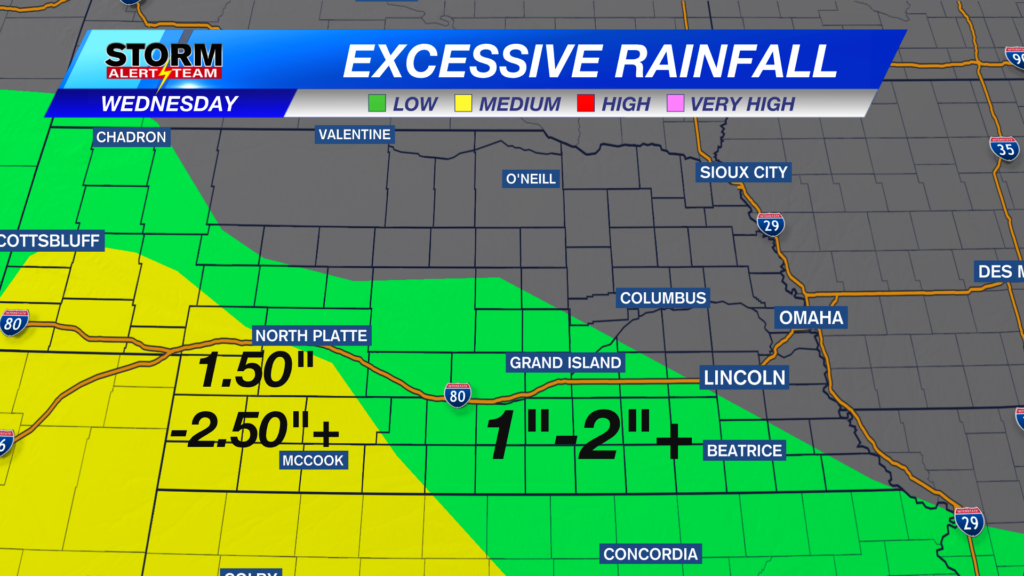
2-5am WEDNESDAY: Showers & T-storms will linger across SE Nebraska due to the cold front stalling. A few stronger storms could be possible Wednesday morning.
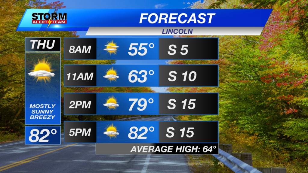
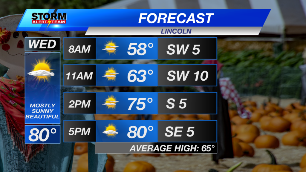
Wednesday afternoon, the cold front finally pushes through & gives the state some new, dry & REFRESHING air. Thursday morning might even be a bit “chilly” in the 50s!
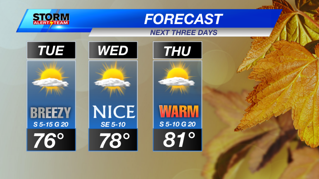
A HOT & breezy next two days. Storms in SE Nebraska Tuesday evening through Wednesday morning. A BEAUTIFUL Wednesday & Thursday, before a quick warm up Friday. Another cold front by the next Huskers football game, which could finally give us 70s for highs near September 14!
Meteorologist Houston Hall